
Last year’s Silver Peak Loop was a loop of the western end of the Silver Divide. The counterpart to that loop for the eastern end of the Silver Divide is the Red & White Loop discussed here. For some background on why the Silver Divide is awesome here are some words excerpted from the Silver Peak Loop post:
The Silver Divide is a spur of the Sierra Crest south of Yosemite and Mammoth Lakes in the John Muir Wilderness. Unlike the Sierra Crest which is oriented from northwest to southeast, the Silver Divide is oriented from west to east. The divide is entirely under 12,500 feet, which is modest in elevation compared to the Sierra crest and neighboring peaks to the south and north. At first impression the region might also appear to be less rugged than neighboring regions and therefore less meriting of attention. Moreover, the area has much longer approaches compared to virtually anywhere eastern Sierra. Thus, the Silver Divide region is often overlooked. In fact, the vast majority of visitation in the region is confined the John Muir Trail which crosses the divide at Silver Pass. However, the Silver Divide is a gem of the Sierra with an abundance of spectacular alpine lakes, grand vistas, miles of glacial polished granite and solitude. This is also a paradise for efficient off-trail travel with numerous class 2 passes over the divide providing many possibilities for route designs or simple wandering.


The Red & White Loop is named as such because one makes a complete loop around Red & White Mountain without actually climbing the peak. As the name would suggest the colorful geology of the region is on full display throughout the loop (map here). Red & White Mountain is a truly a majestic mountain and arguably has three distinct sides of color: a white granitic south side, a red east side, and a gray north to northwest side. In that regard, a more accurate name might be Red, White and Gray Mountain! Since the Red & White Loop circumnavigates Red & White Mountain it gives an excellent vantage of each of the colorful sides.


The largely off-trail route includes five passes: Hopkins Pass, Grinnell Col, Bighorn Pass, Rohn Pass and McGee Pass. The highlight of the loop is the wonderful remote lakes en route including Big McGee Lake, Upper Hopkins Lake, Grinnell Lake, Rosy Finch Lake, Bighorn Lake and Tully Lake. Of these lakes, only Big McGee Lake is accessible by designated trail. The only named peak on the eastern end of the Silver Divide is Mount Izaak Walton and this 12,077 ft peak can be easily incorporated into the loop as a relatively short out-and-back. If so, I highly recommend the enjoyable class 3 scramble of Izaak Walton’s northeast ridge (both as ascent and descent). Izaak Walton is not he highest peak in the area (there are other higher but unnamed summits along the Silver Divide) but its central location affords an excellent view of the surrounding terrain including Bighorn Lake, Rosy Finch Lake, upper Fish Creek, Red Slate Mountain and Red & White Mountain.


Start at the McGee Creek Trailhead and hike up through sage and aspen groves for a few miles before transitioning to whitebark pine forest. Eventually emerge at meadows where Red & White Mountain makes a grand appearance. Ascend just above Big McGee Lake and then leave the McGee Pass Trail on a secondary trail that descends to the west shore of Big McGee Lake. Instead of going down to the shoreline, stay higher next to a smaller lake west of Big McGee Lake. Ultimately curve into the small drainage to the west of Red & White Mountain where one can utilize the historic trail that leads to Hopkins Pass. This trail is more of a usepath now lacking definition in some areas, but utilizing it helps with efficiency on this climb. Hopkins Pass may look intimidating from a distance, especially if a cornice is lingering at the top, but this pass is usually not an issue with some old switchbacks helping with the climb and the cornice easily avoidable on climber’s left. From Hopkins pass descend grassy slopes and rocks to Upper Hopkins Lake. Here the next climb commences to Grinnell Col. Expect some slabs, talus and steep dirt on this relatively short climb. The first part is the steepest and then the gradient relaxes for the final bit up to the col. At the col, make an optional side trip northwest from the col to a pinnacle (~11,800 ft) that contains a breathtaking view of Grinnell Lake and the Red & White Mountain’s south ridge leading to the summit.


The descent from Grinnell Col is steep rocks and dirt but fairly efficient. Circle gorgeous Grinnell Lake on its east and south shores to the outlet and the continue on the west side of the lake. Grinnell Lake has a long and intricate shoreline and takes on an appearance of fjord. Red & White Mountain towers above and the white granite of its south ridge plunges directly into the lake on its east side. From a saddle along the west side of the lake, veer to the west and utilize meadowy benches to traverse west to beneath Bighorn Pass staying high and above Laurel Lake.


From here it’s about 400 vertical feet to Bighorn Pass – short and sweet – and the only portion of the route that is shared with the Sierra High Route. The Sierra High Route utilizes Bighorn Pass and Shout of Relief Pass to cross the Silver Divide. From Bighorn Pass, instead of traversing to Shout of Relief Pass above and east of Rosy Finch Lake, the Red & White Loop descends to the shores of gorgeous Rosy Finch Lake and traverses beautiful Sierra alpland to equally stunning Bighorn Lake which is largely invisible from the Sierra High Route. Instead of crossing the Silver Divide at Shout of Relief Pass, the Red & White Loop crosses at Rohn Pass above Bighorn Lake. From the slopes above Bighorn Lake, Mount Izaak Walton is close at hand and well worth the side trip before resuming the loop at Rohn Pass. In fact, after descending the northeast ridge of Mount Izaak Walton one can make a mostly level traverse to Rohn Pass utilizing convenient grassy benches. If climbing Izaak Walton I recommend the northeast ridge. The route begins with some gravel and looseness but firms up in the upper part with an enjoyable and sustained class 3 scrambles along a narrow ridge with great views on both sides. The summit possesses a swell 360 vista including the Mono Divide, Silver Divide, Bighorn Lake, Rosy Finch Lake, Red Slate Mountain, Red & White Mountain and Izaak Walton Lake. While not the highest peak on this section of the Silver Divide I can see why it merited the official name recognition as it’s a spectacular perch and a fine looking peak when viewed from the east.


On the north side of the Silver Divide at Rohn Pass descend talus and granite slabs to meadows below. Instead of angling west toward Cotton Lake as one would do on the SHR, stay the course north to lovely Tully Lake and ultimately join the McGee Pass Trail. Take the McGee Pass Trail through the stunning parkland of upper Fish Creek. Marvel at the amazingly colorful geology in the region as you pass through lush meadows. The ascent to McGee Pass contains many easy switchbacks allowing one to focus on views (and NOT cut the switchbacks)! At McGee Pass the last optional side trip is Red Slate Mountain, only 1,000 vertical feet above. Most of the way up Red Slate is either on use path or easy cross country and the views from the summit are outstanding. I have stood on Red Slate many times over the years and each time I greatly enjoy the view, so if you have the energy it’s a great add-on from McGee Pass. Once over McGee Pass it’s all trail (and almost all downhill) to the McGee Creek Trailhead. Map of route here.


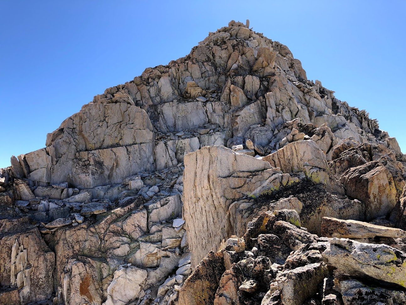


Photo links broken?
Thanks. Hopefully photos are visible now?
Yes, fixed now. Thanks!
Beautiful thank you
I follow your route this September.
Two night? At my age , 5 night . Don’t do three pass days or 15 mile days if I can avoid it .
Sent from my iPhone Doug
>
Your photos are always great! Do you bring a camera or just use your phone?
Hi,
Just wanted to say to that this page inspired me and my dad (75!) to do the loop this august (2022). Beautiful all around indeed, so thanks! we did it clockwise, in 4 days, including Red Slate.
We were a bit intimidated by descriptions of Grinnel col, so we walked down Hopkins creek a bit (beautiful btw) and went up and across the saddle further to the south that brings you down to the peninsula on the SE of Grinnel (beautiful view of the lake from there). It seems like this is an easier alternative, even if challenging enough for my dad! described here https://www.highsierratopix.com/community/viewtopic.php?f=31&t=16200&sid=bfabfa35c558264548b4011087c8bacf
Also I would recommend coming down Rohn pass further to the east than you describe. We didn’t find your description of “easiest col in the sierras” very accurate :). “Shout of relief” seems much easier on that side, although one would miss out on the second lake.
How’s the fishin’?