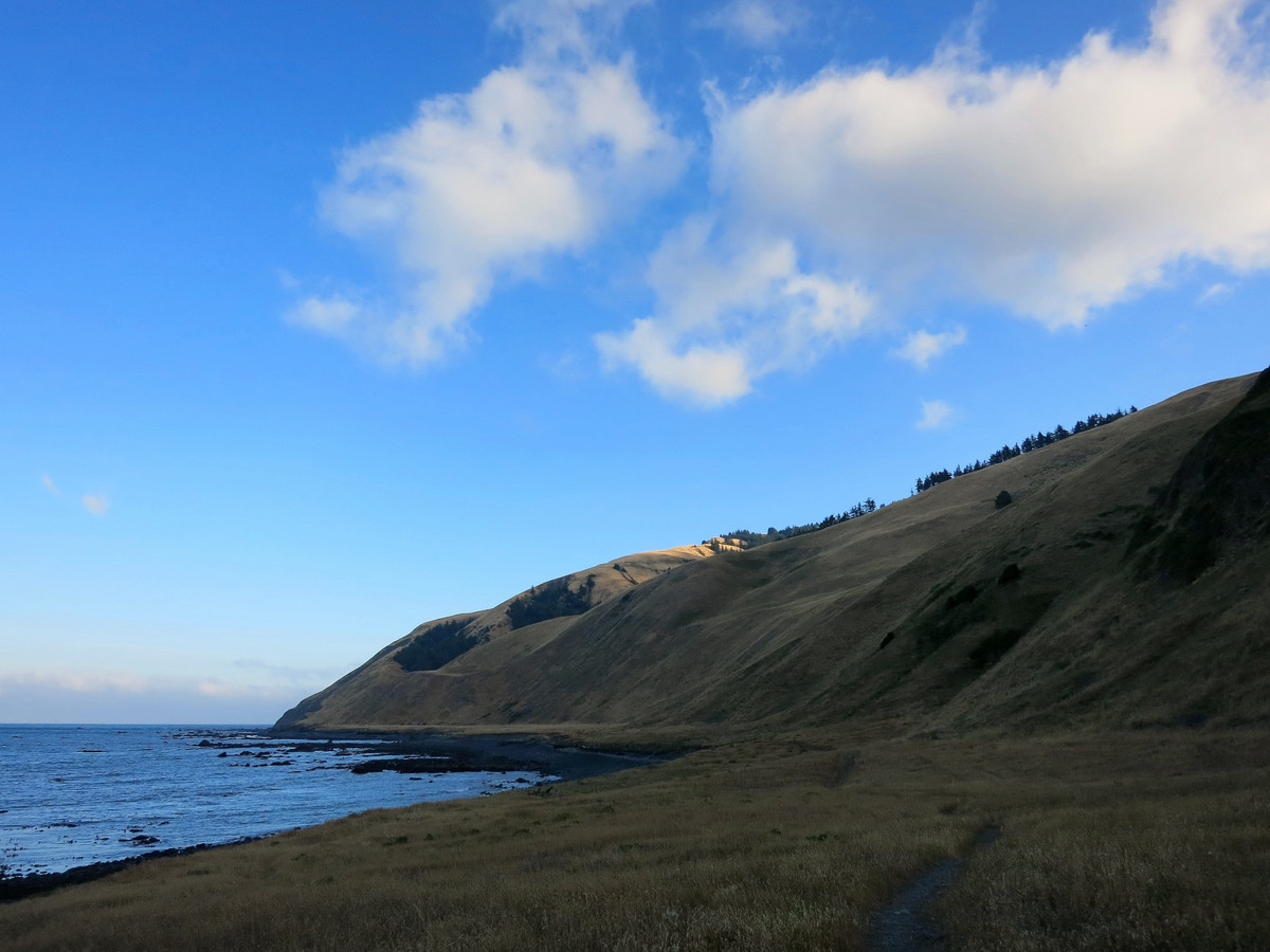
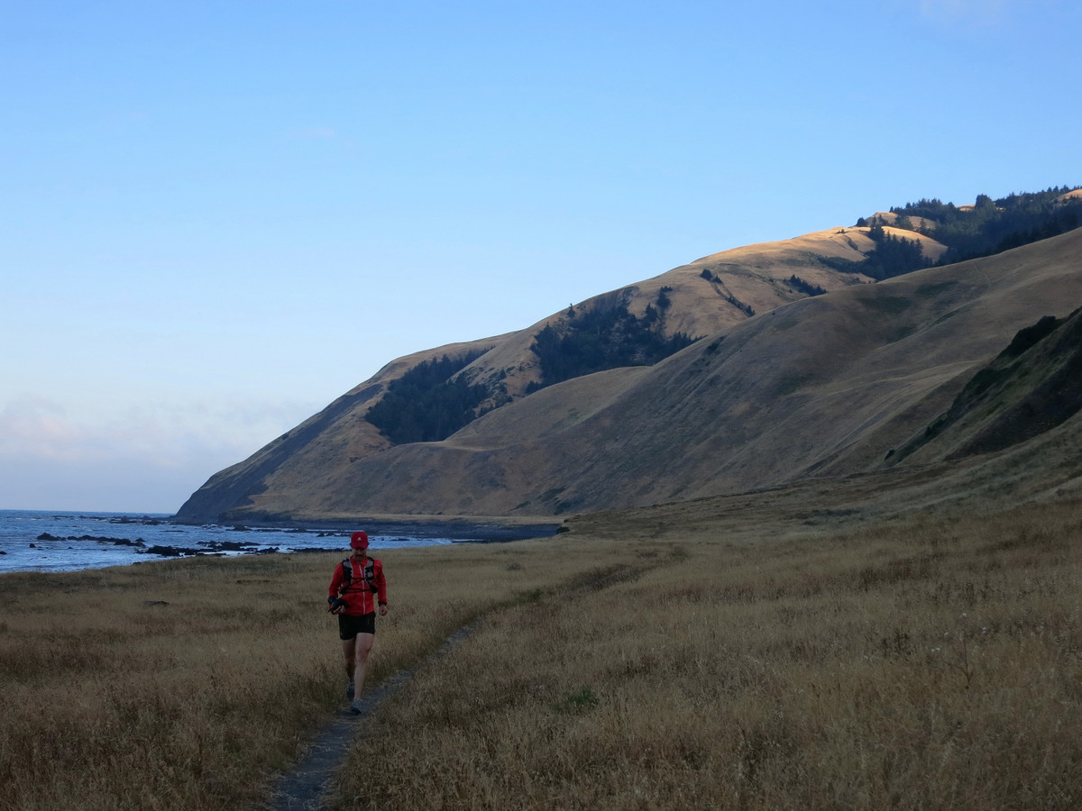
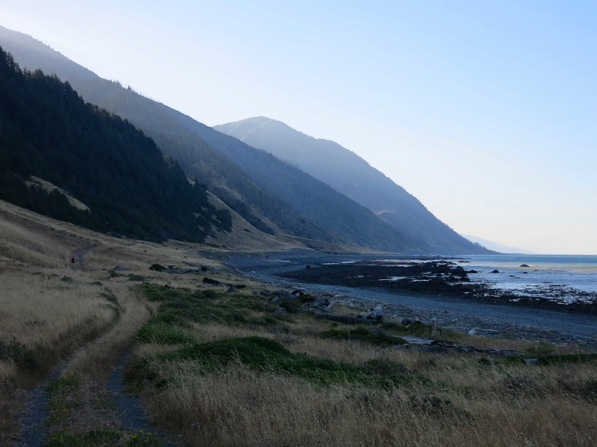
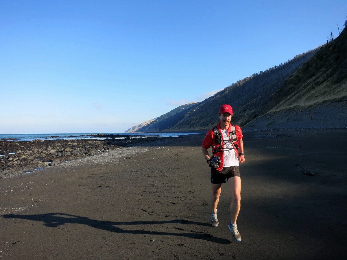
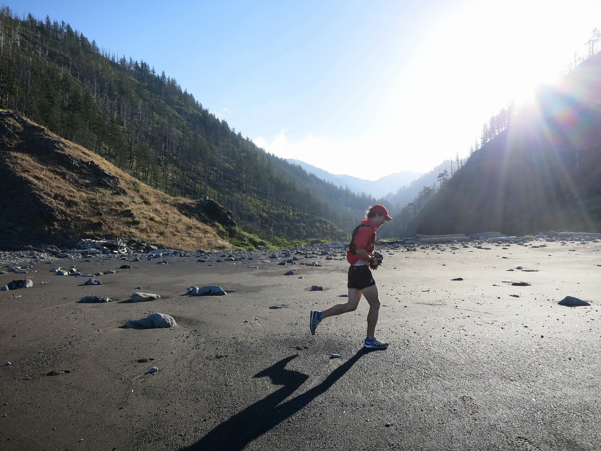
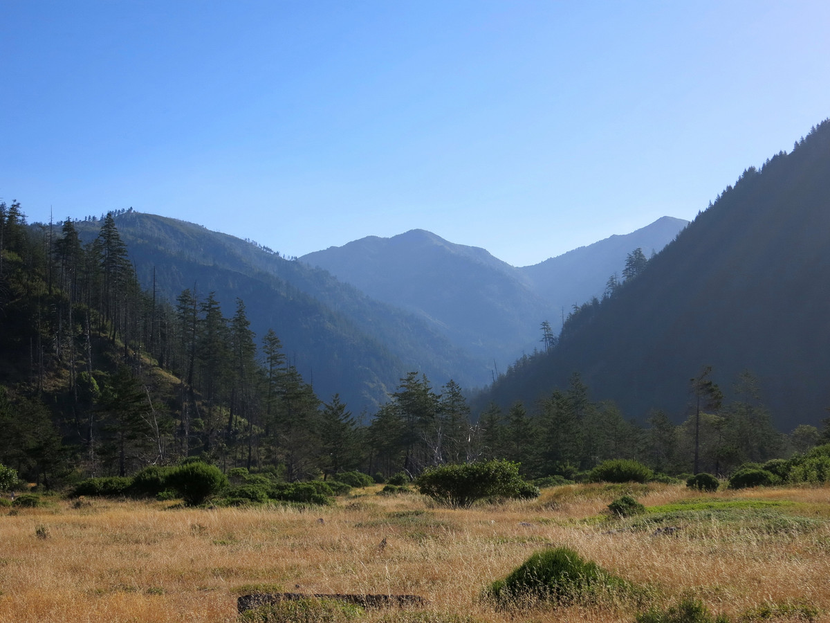
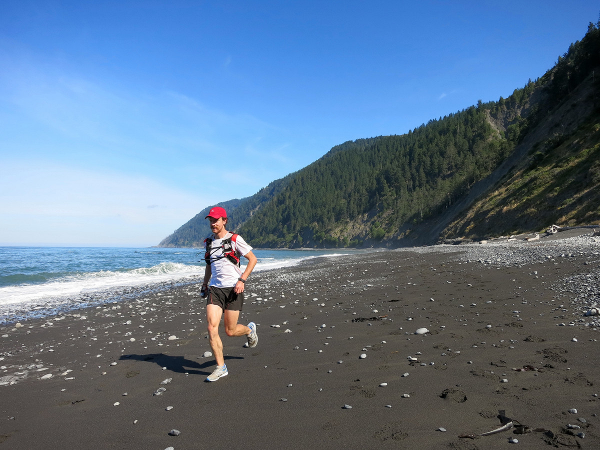
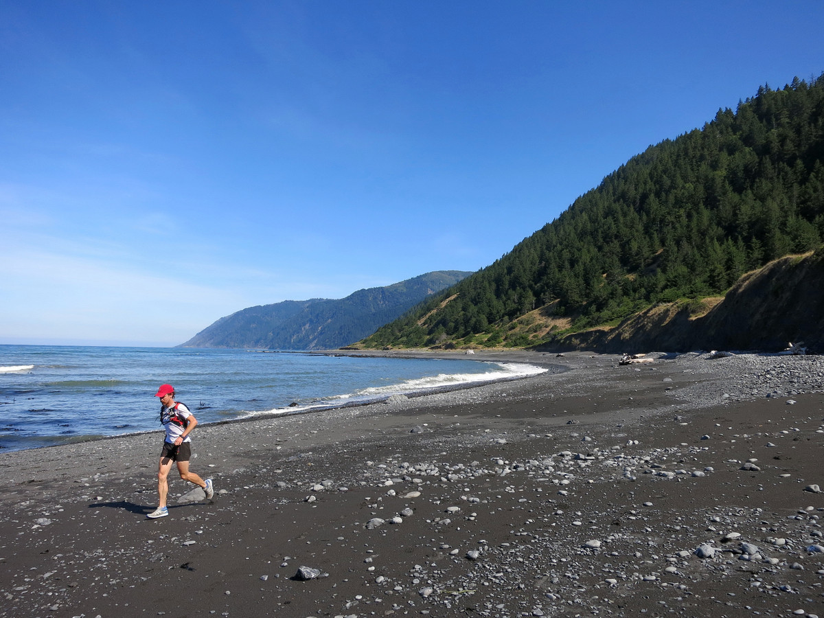
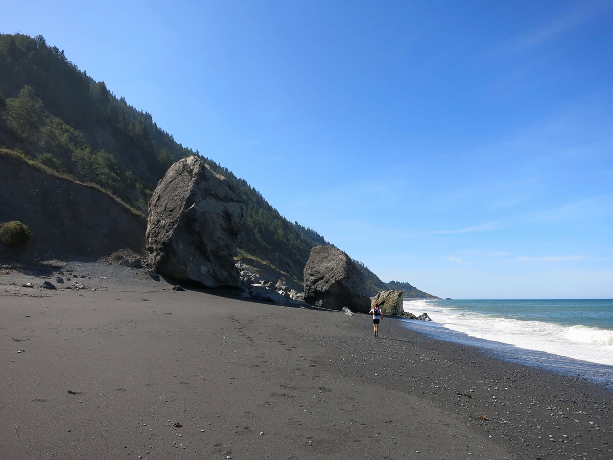
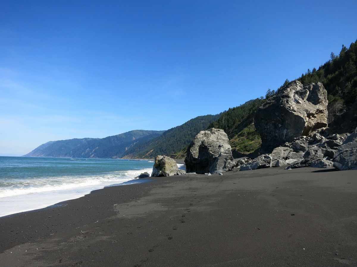
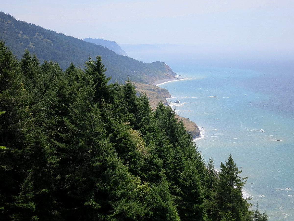
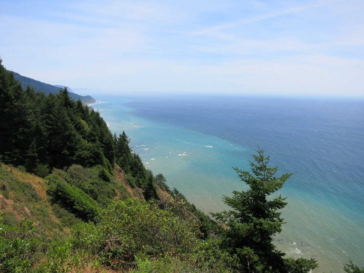
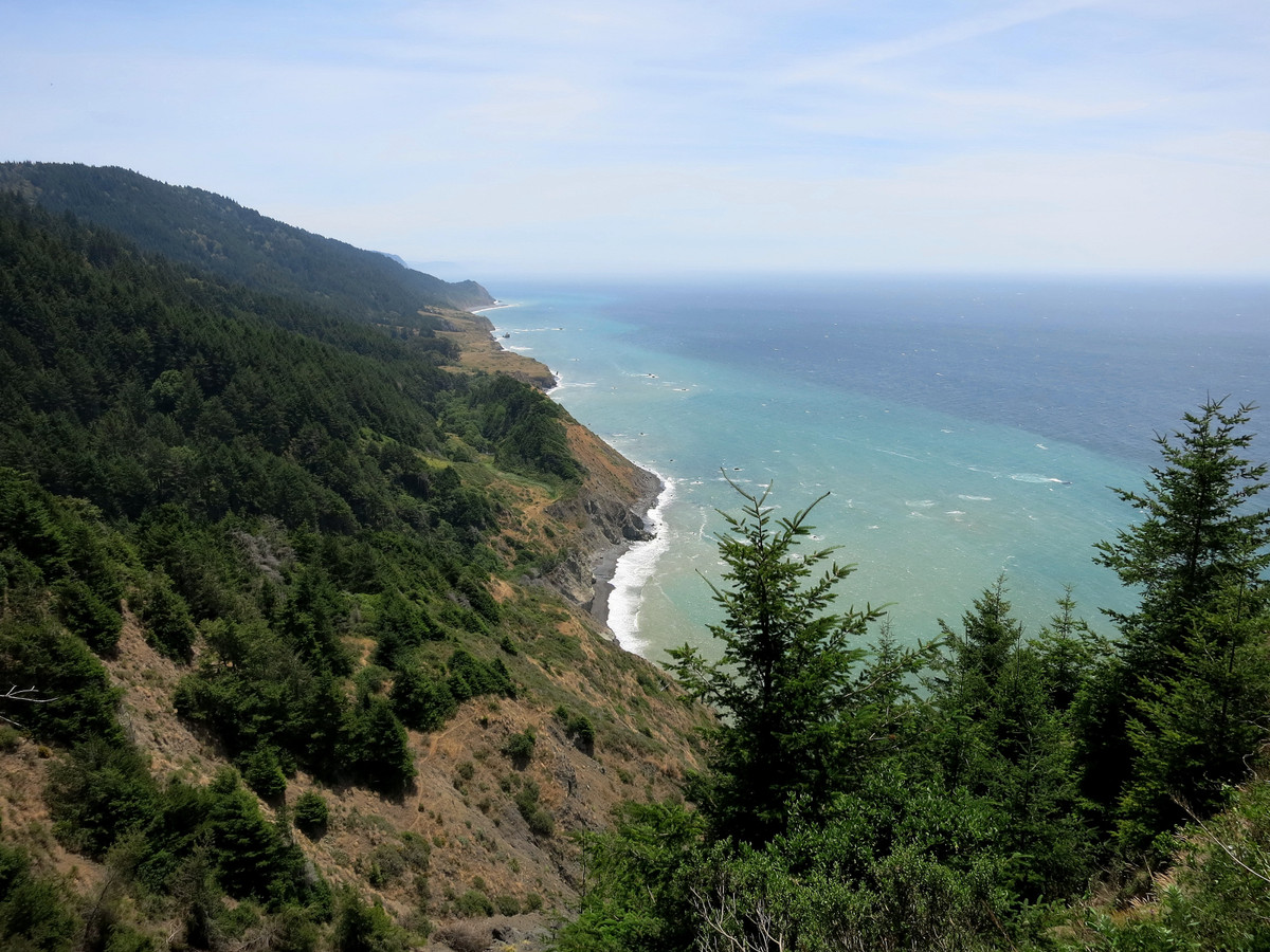
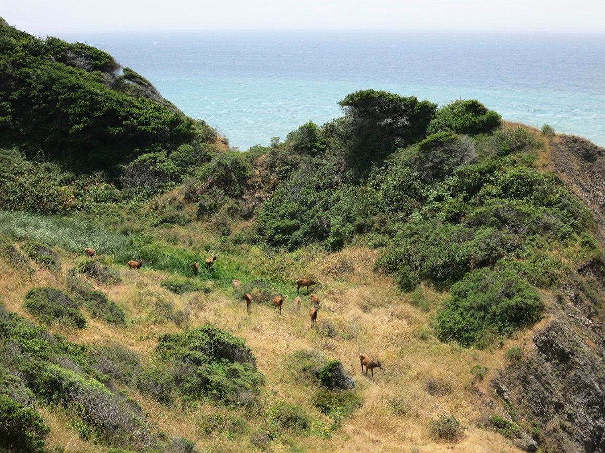
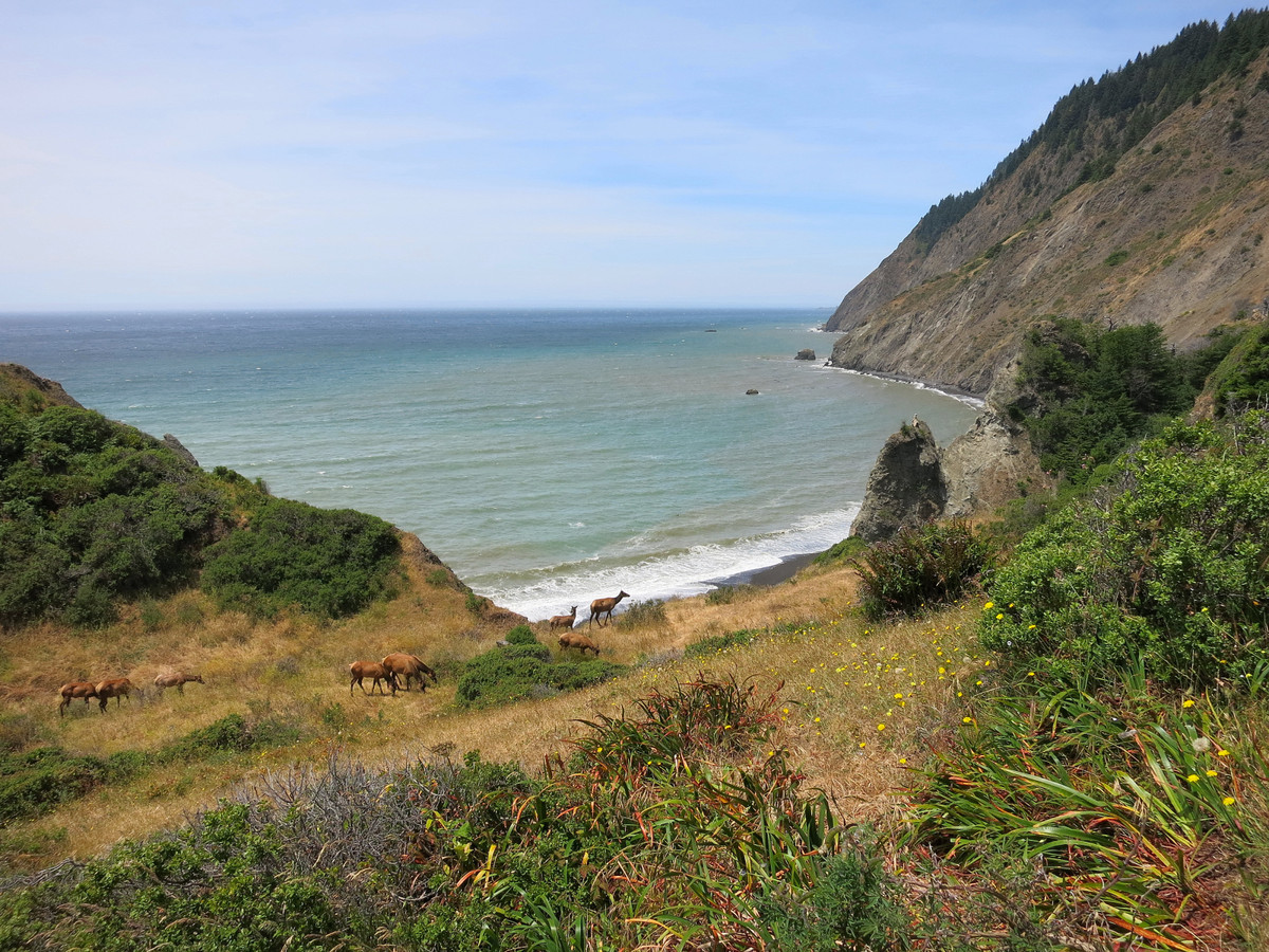
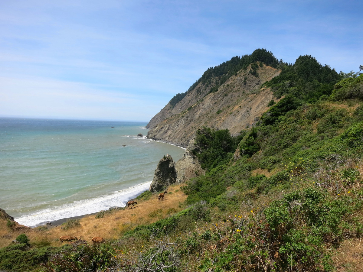
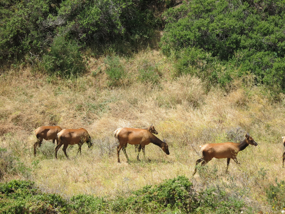
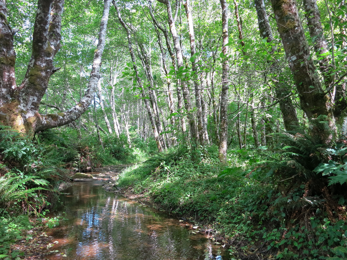
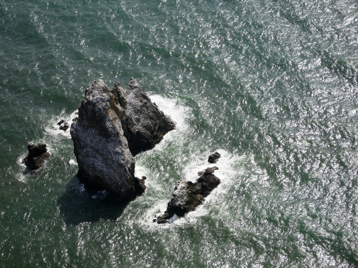
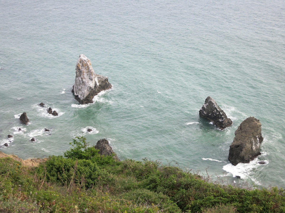
The Lost Coast is a spectacular meeting of land and ocean along the most undeveloped, remote and rugged stretch of coastline along the U.S. West Coast. I was eager to return here to attempt the Complete Lost Coast from Mattole River to Usal Beach in a single day after amazing two-day experiences in 2010 and 2012 (see 2010 TRs: King Range,Sinkyone; July 2012 album here) and also an awesome loop through the King Range portion in March 2014 that included the beach section, Cooskie, and the Kings Crest – a route I called the King Range 50 since its distance came in just above 50 miles. Rickey Gates and I had been talking about doing the Complete Lost Coast in day for several months and it seemed like scheduling was a persistent conflict until this weekend. It was awesome to share these beautiful miles with Rickey and experience the entire Lost Coast in a single day, or more accurately, 13h47m. The 57+ mile point-to-point route has astounding variety, from rugged coastal beach in the north to redwood glens, sweeping vistas atop bluffs, and elk herds in the southern portion. In essence, the Complete Lost Coast is one of the greatest coastal adventure runs in the United States, and perhaps the world. It’s rare to find such unfettered, wild and rugged coastal scenery with no nearby roads, no established campgrounds, and no other facilities to speak of. It’s a special place and a treat to see this entire stretch of coastline unfold as you’re running down the coast. Our goal was to immerse ourselves in the coastal scenery so while moving swiftly over the terrain was an essential part of the flow for us, speed was not the top priority. Many many thanks goes to Rickey’s girlfriend Liz who helped us avoid a long car shuttle by dropping us off at Mattole and driving curvy mountainous roads to Shelter Cove and Usal Beach.
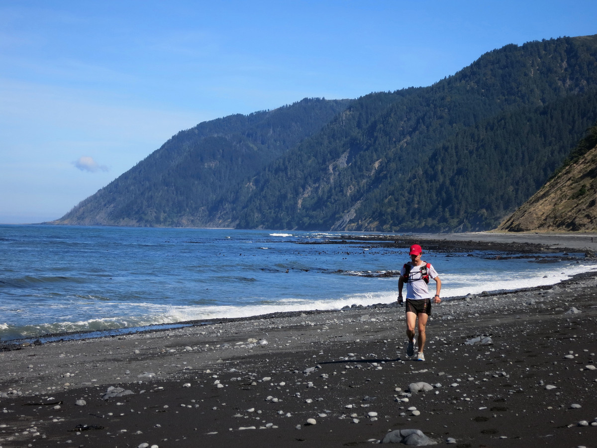
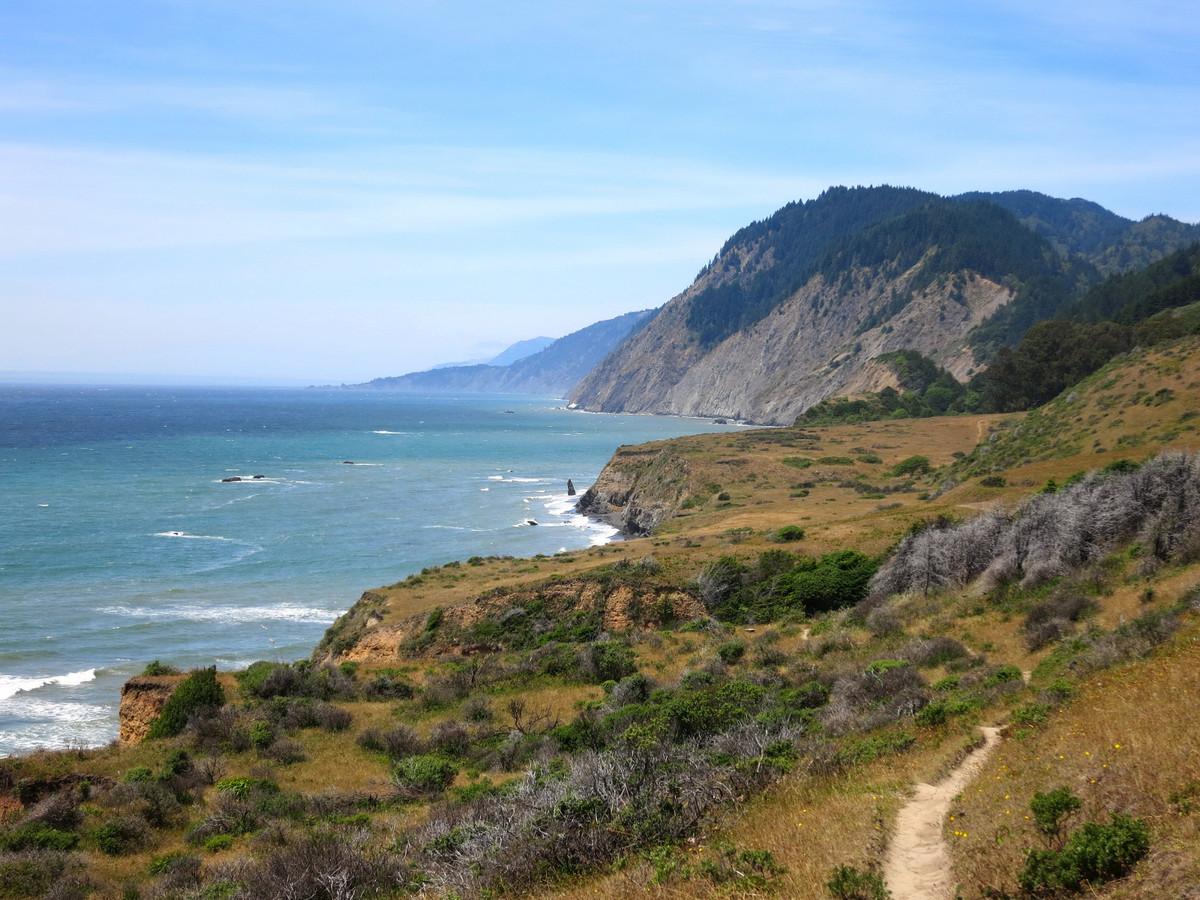
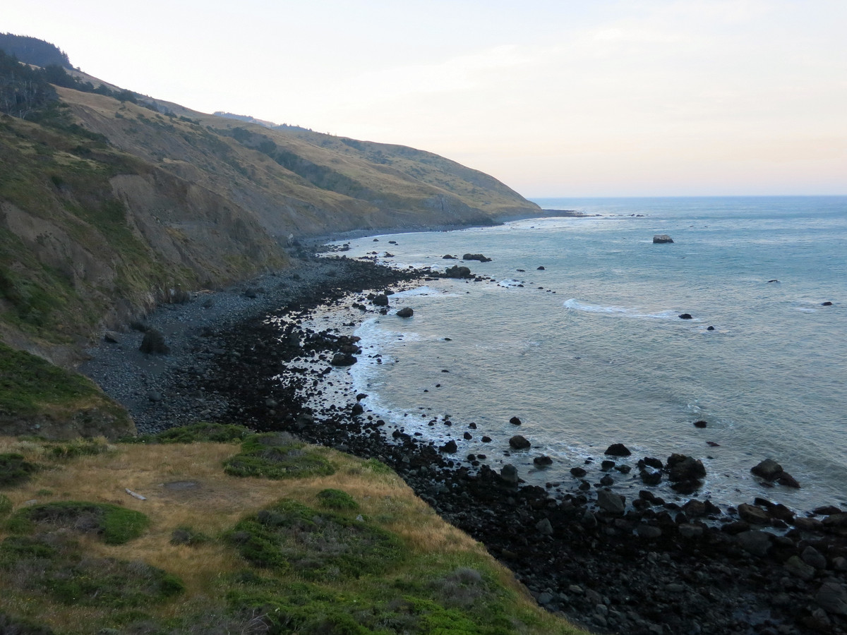
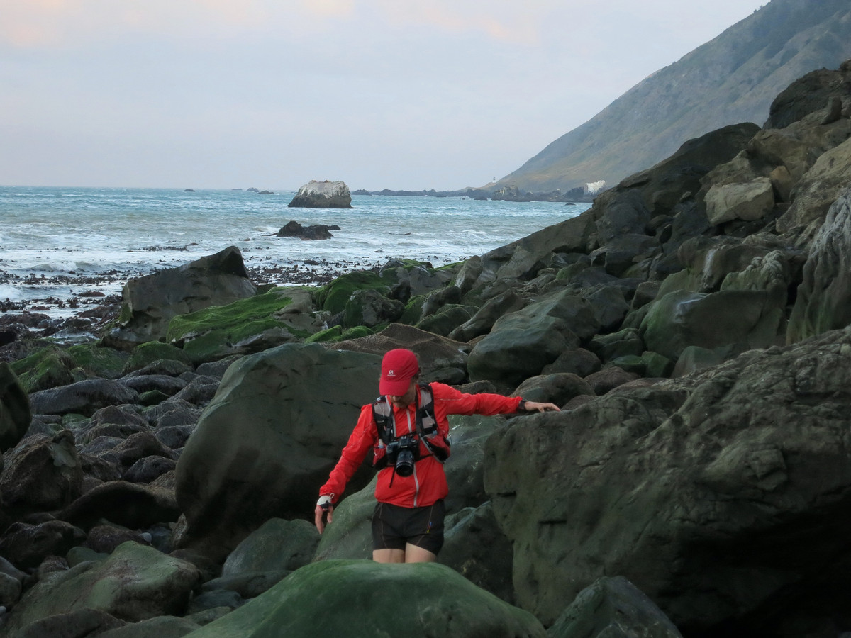
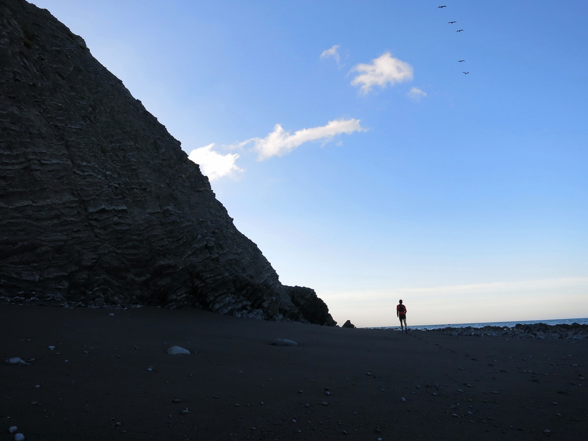
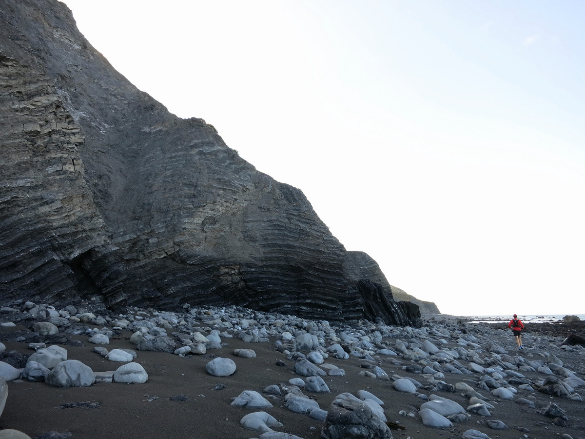
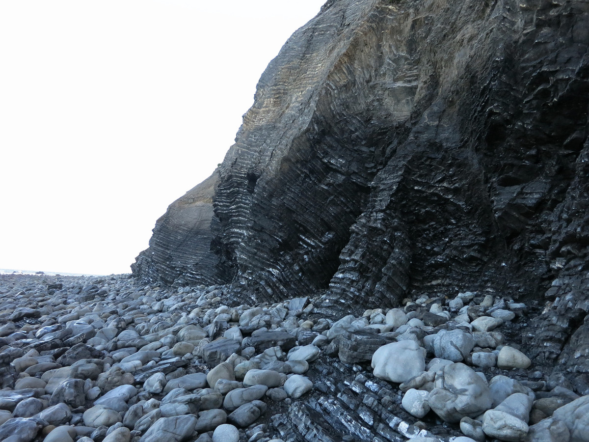
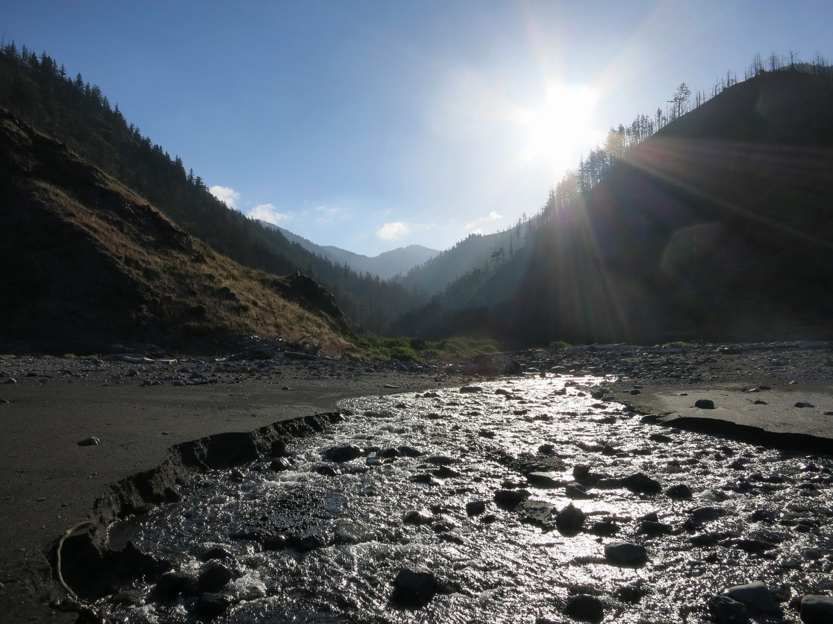
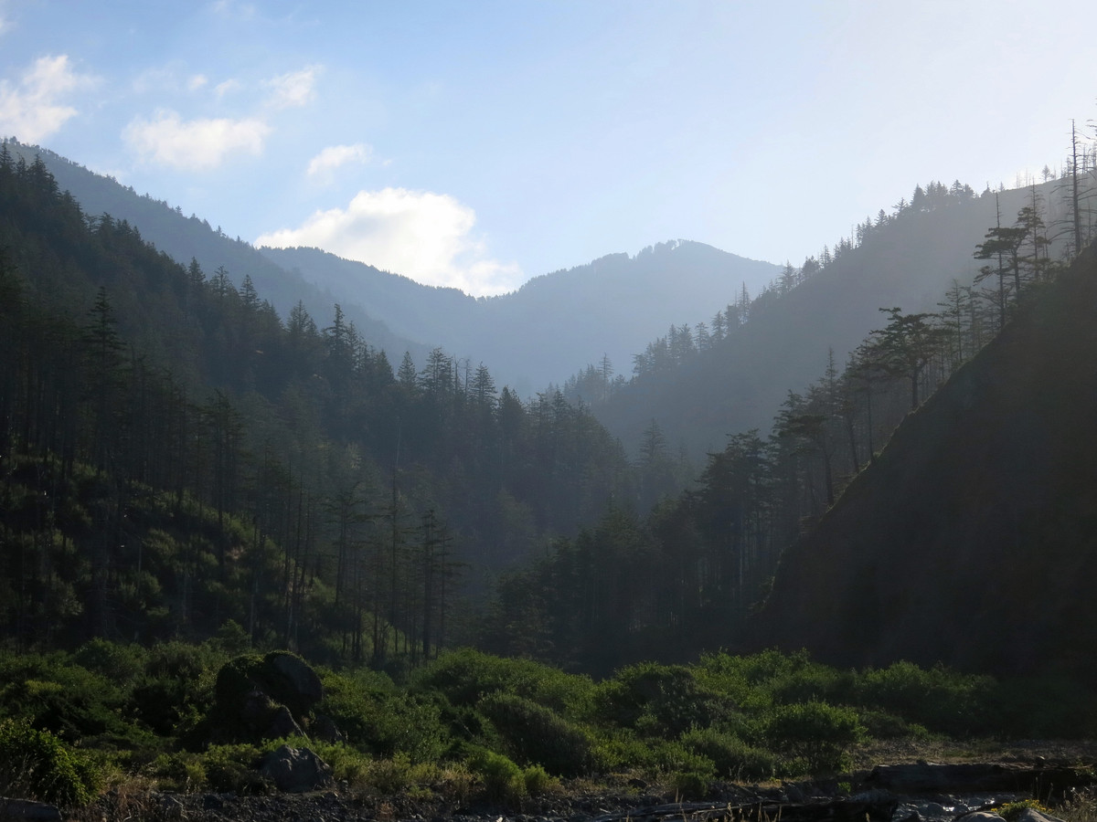
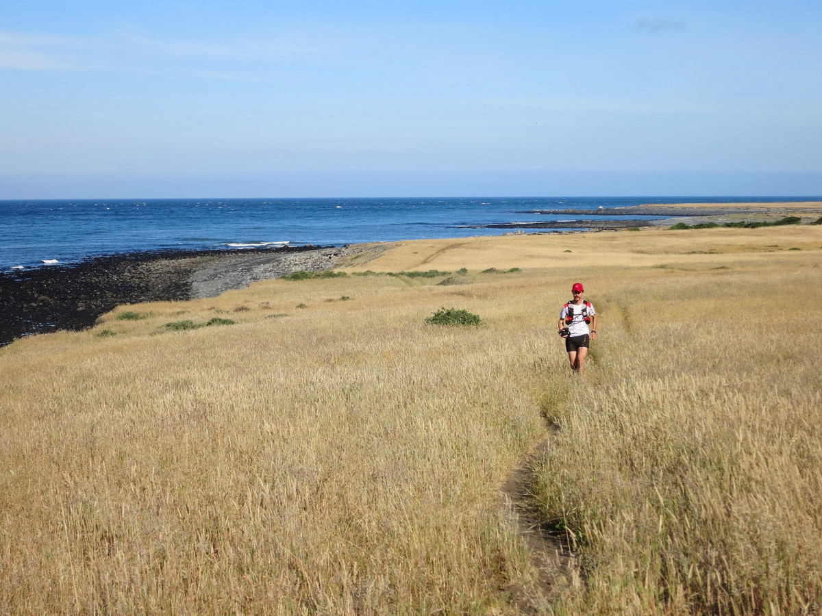
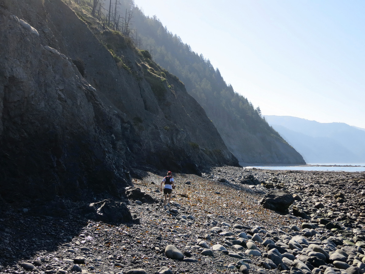
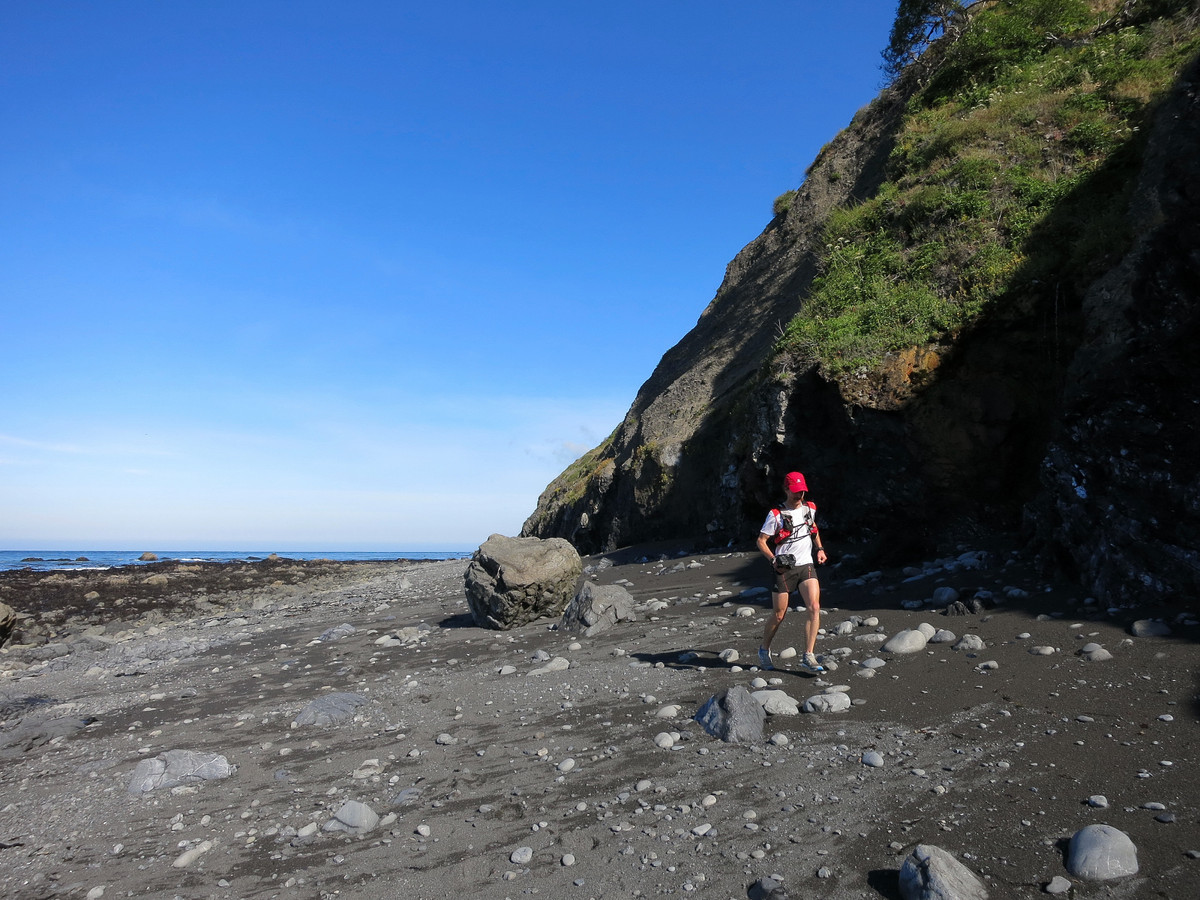
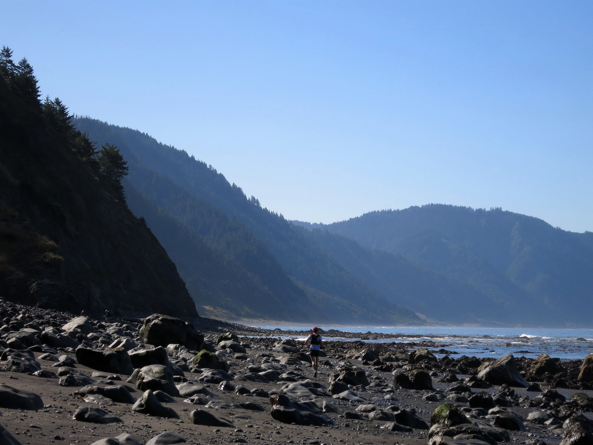
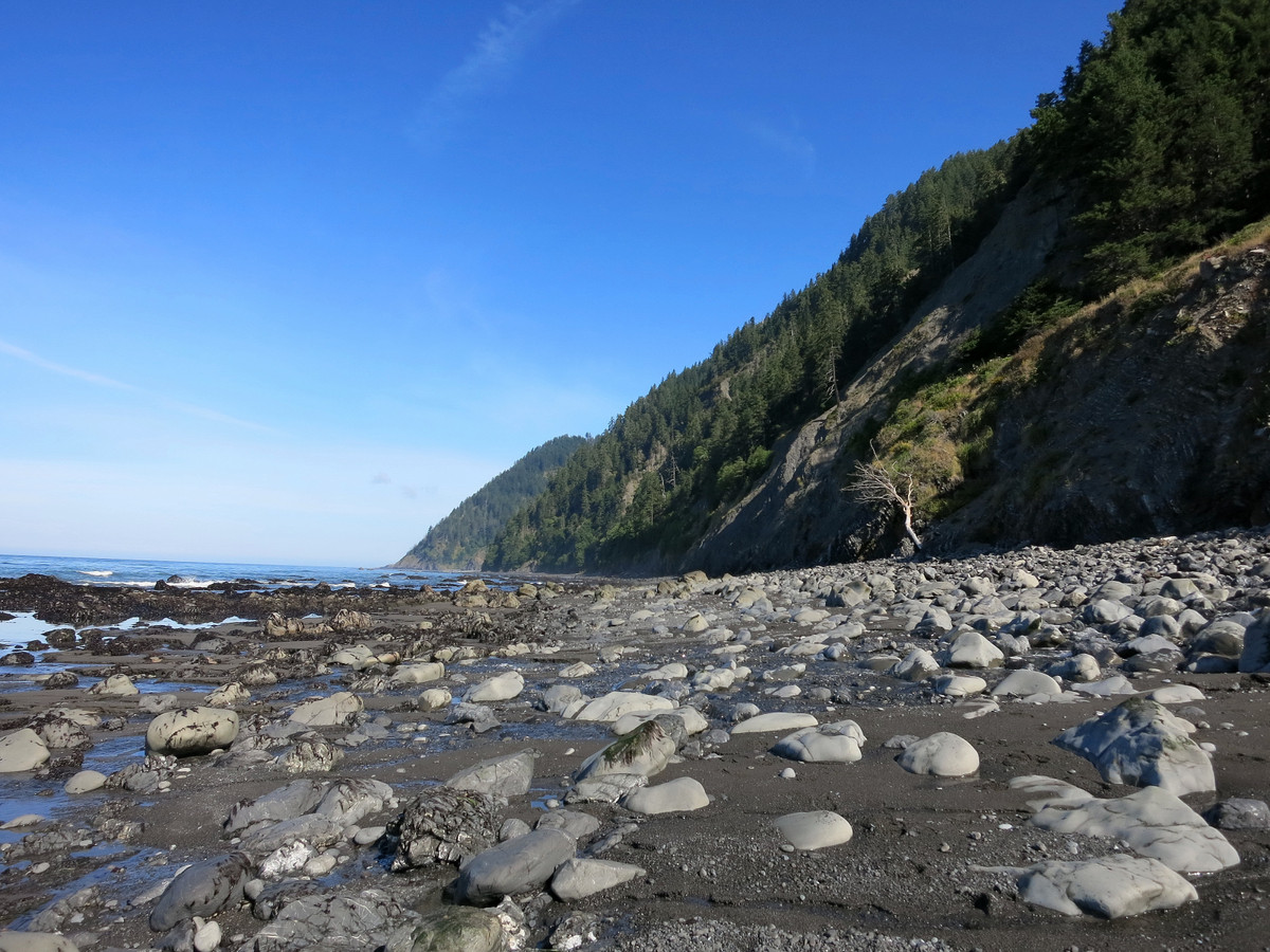
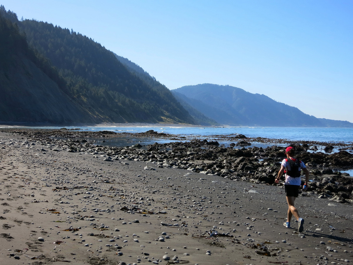
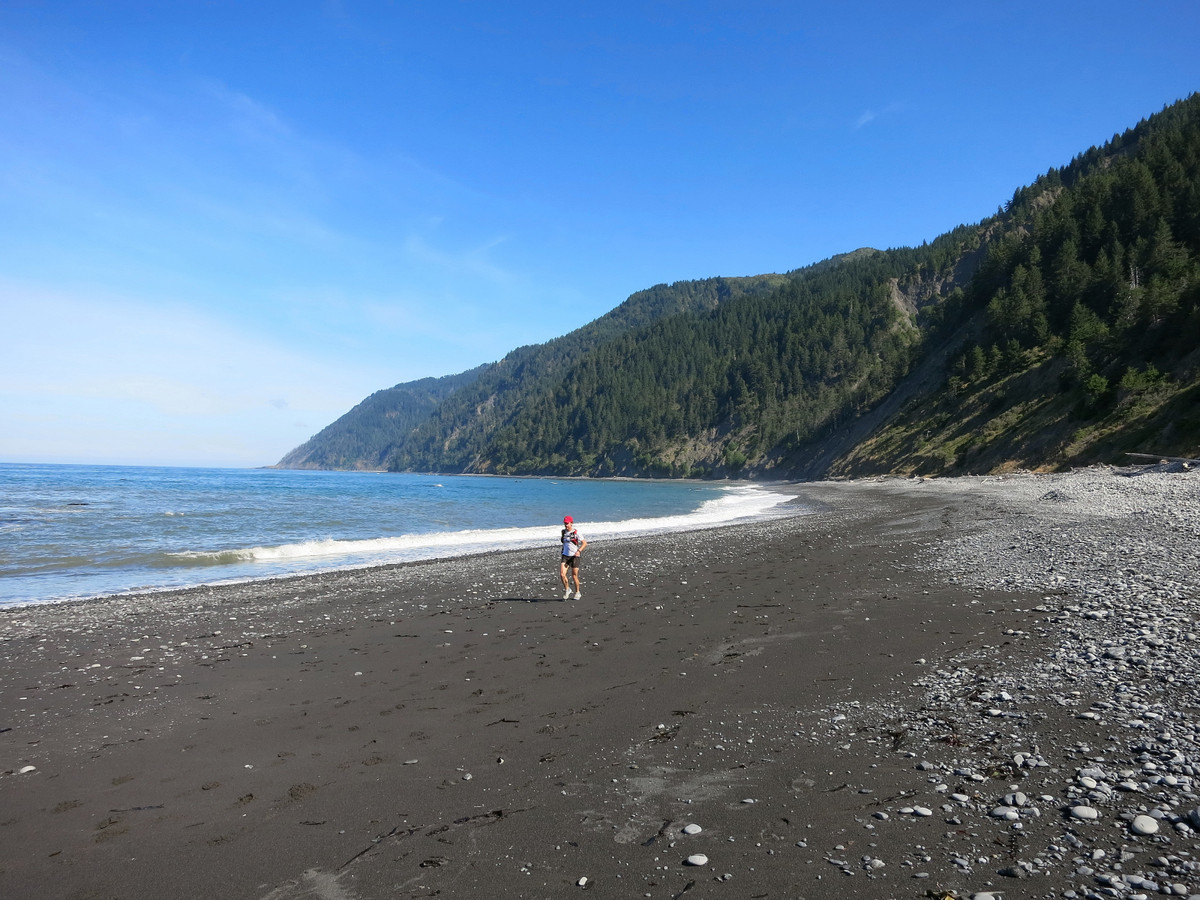
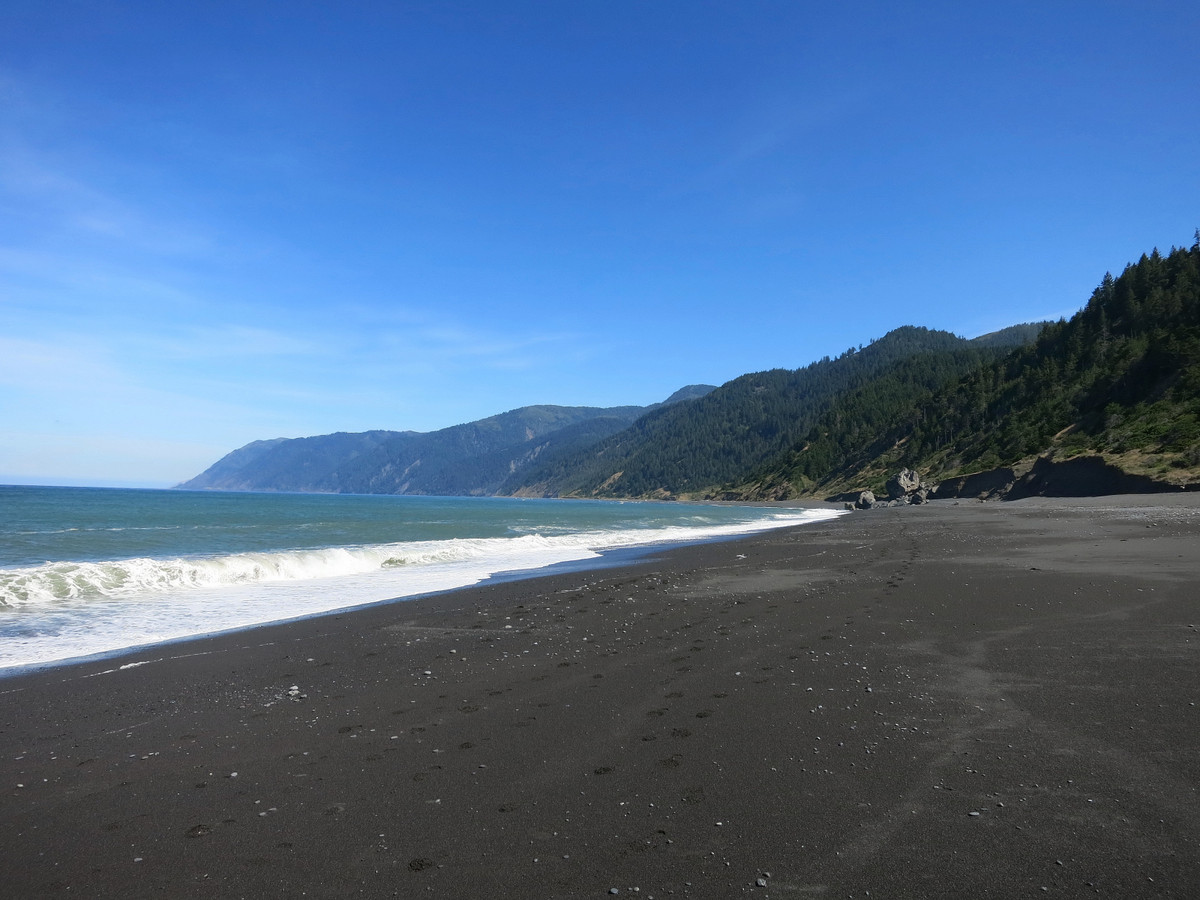
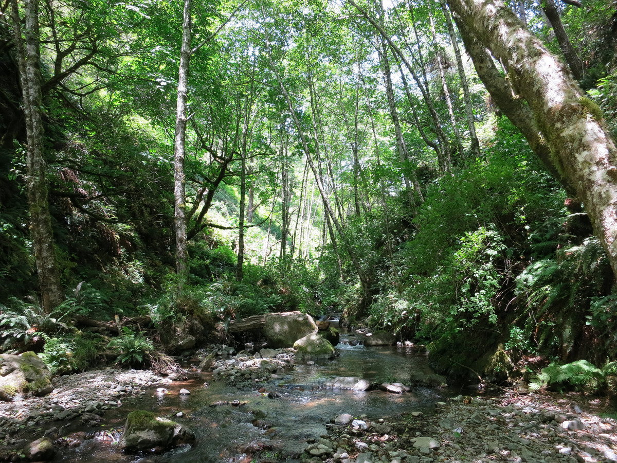
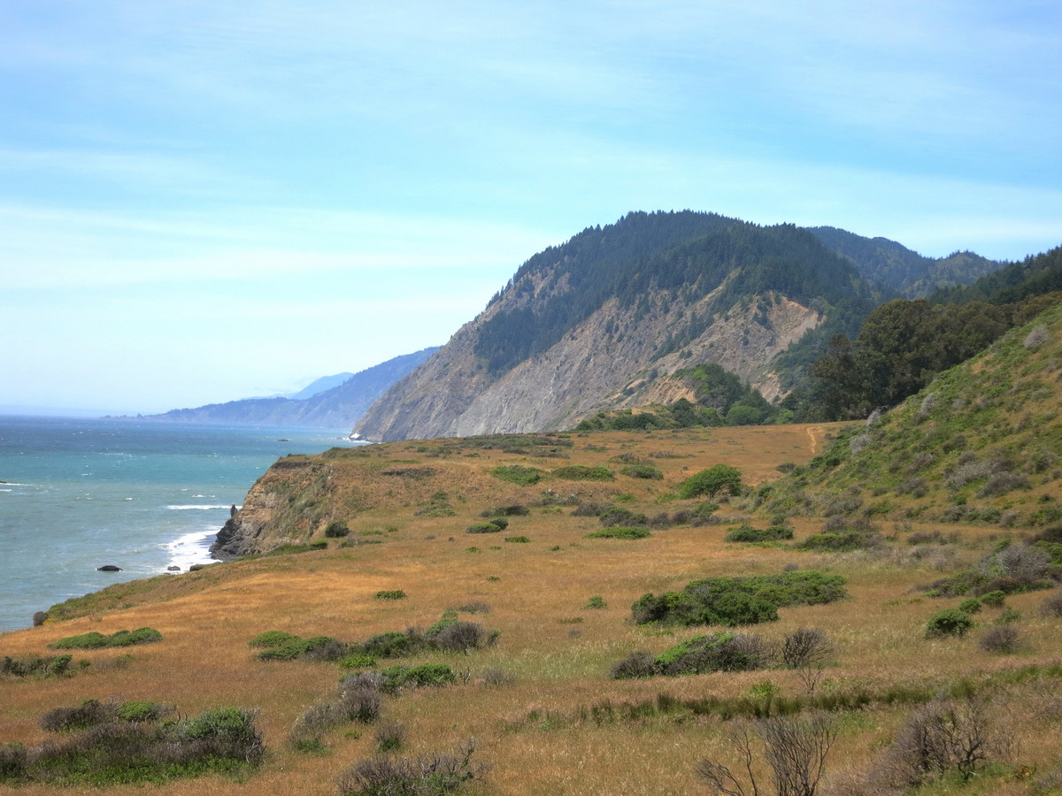
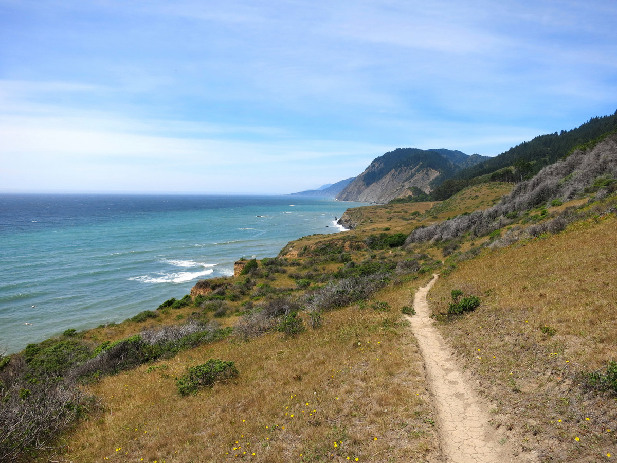
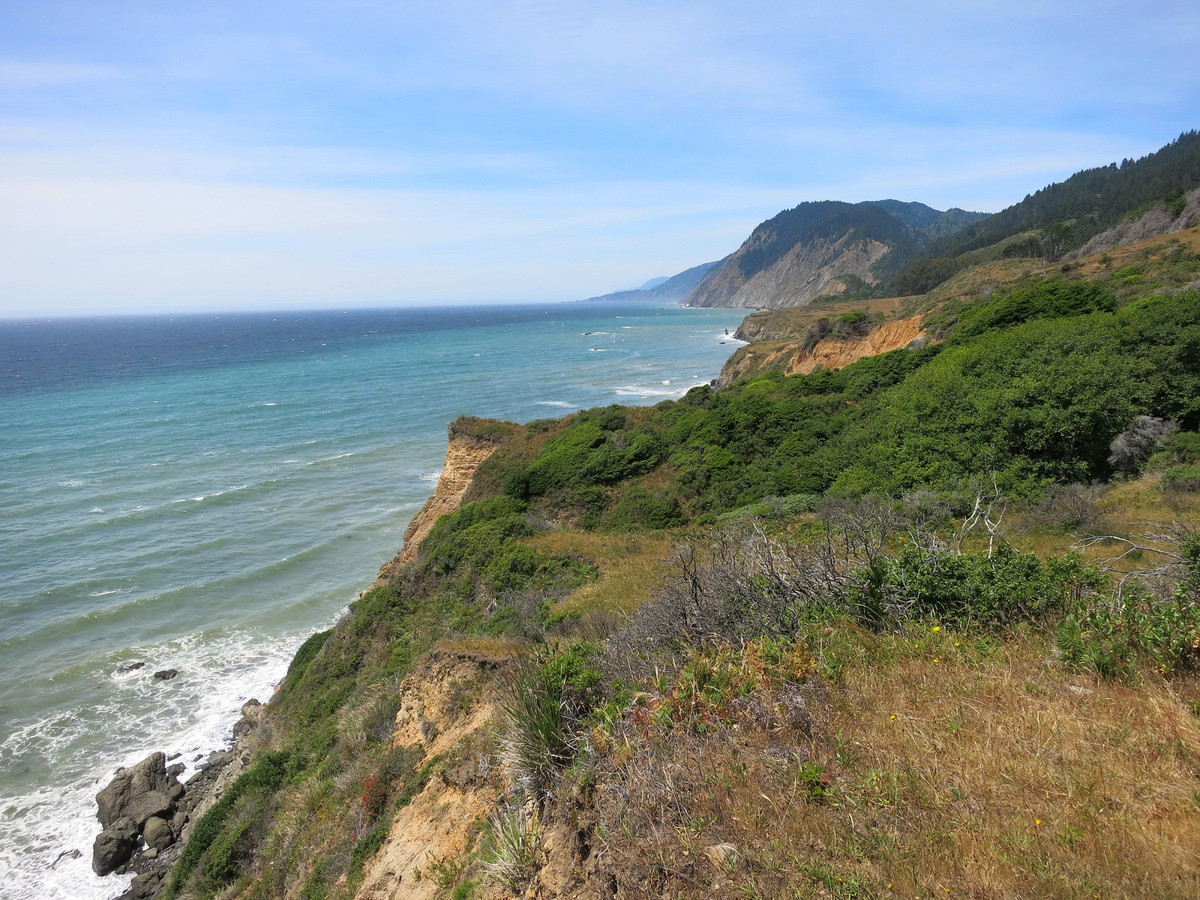
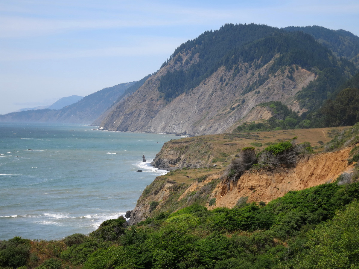
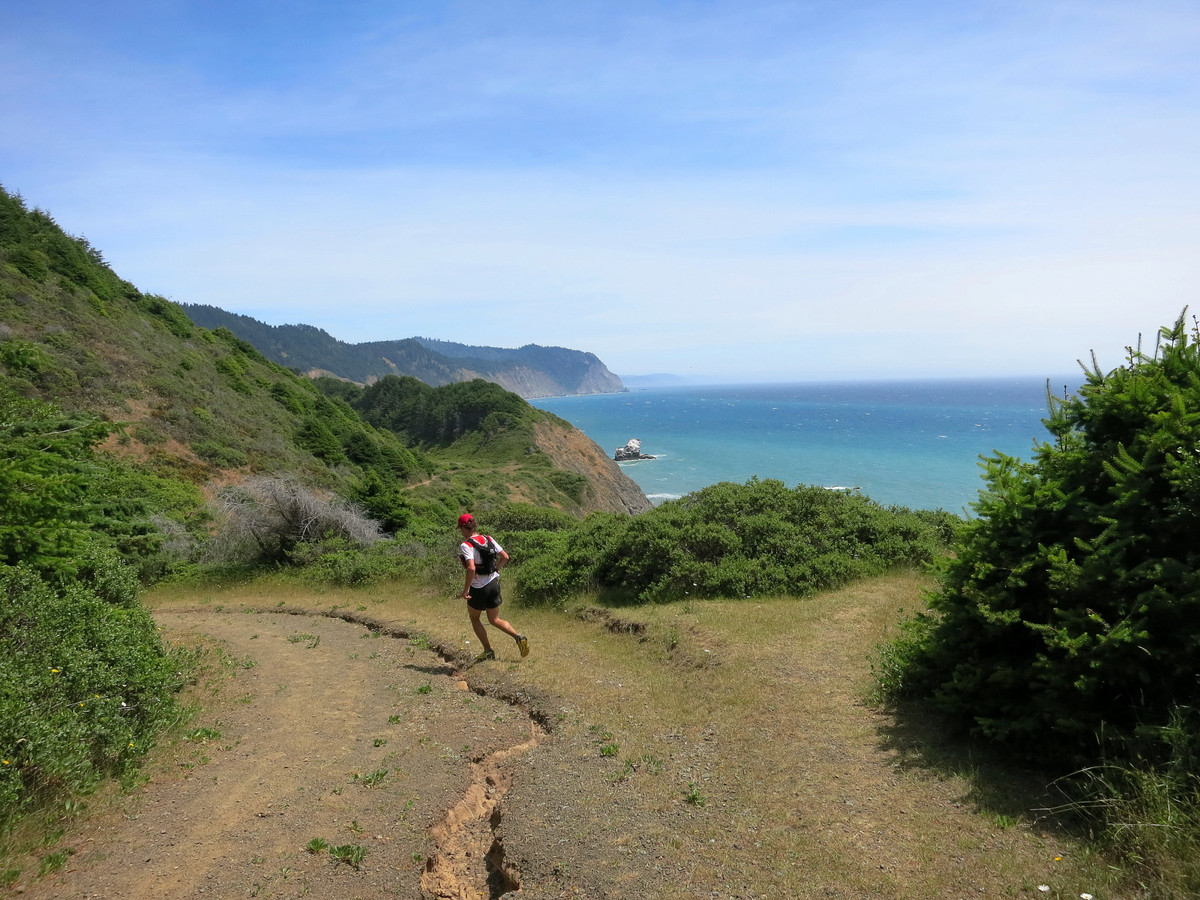
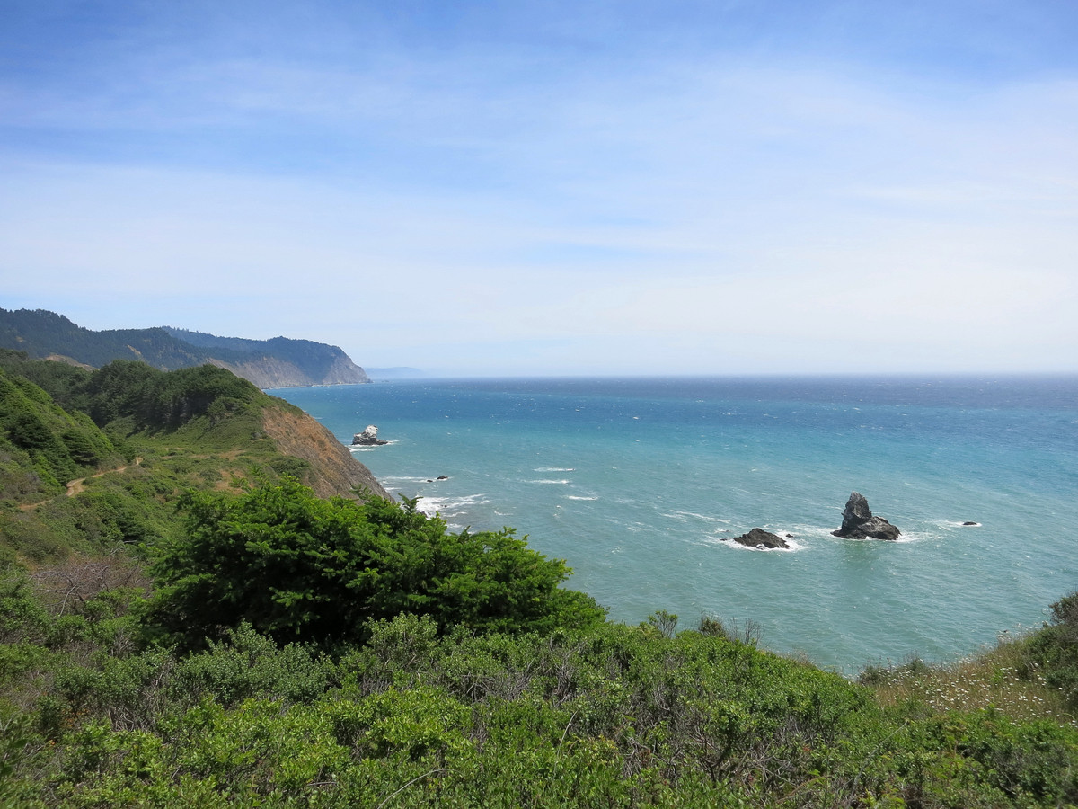
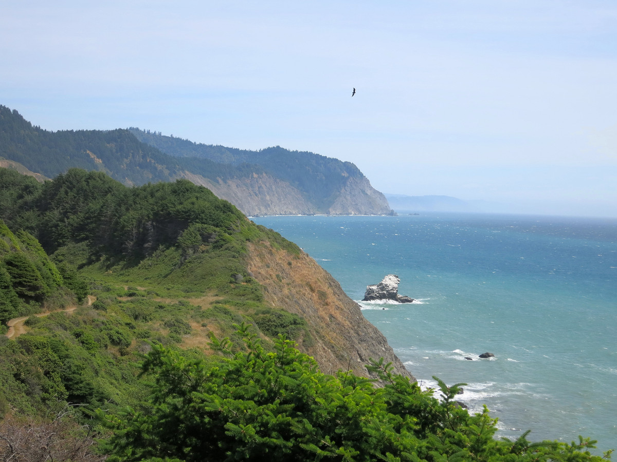
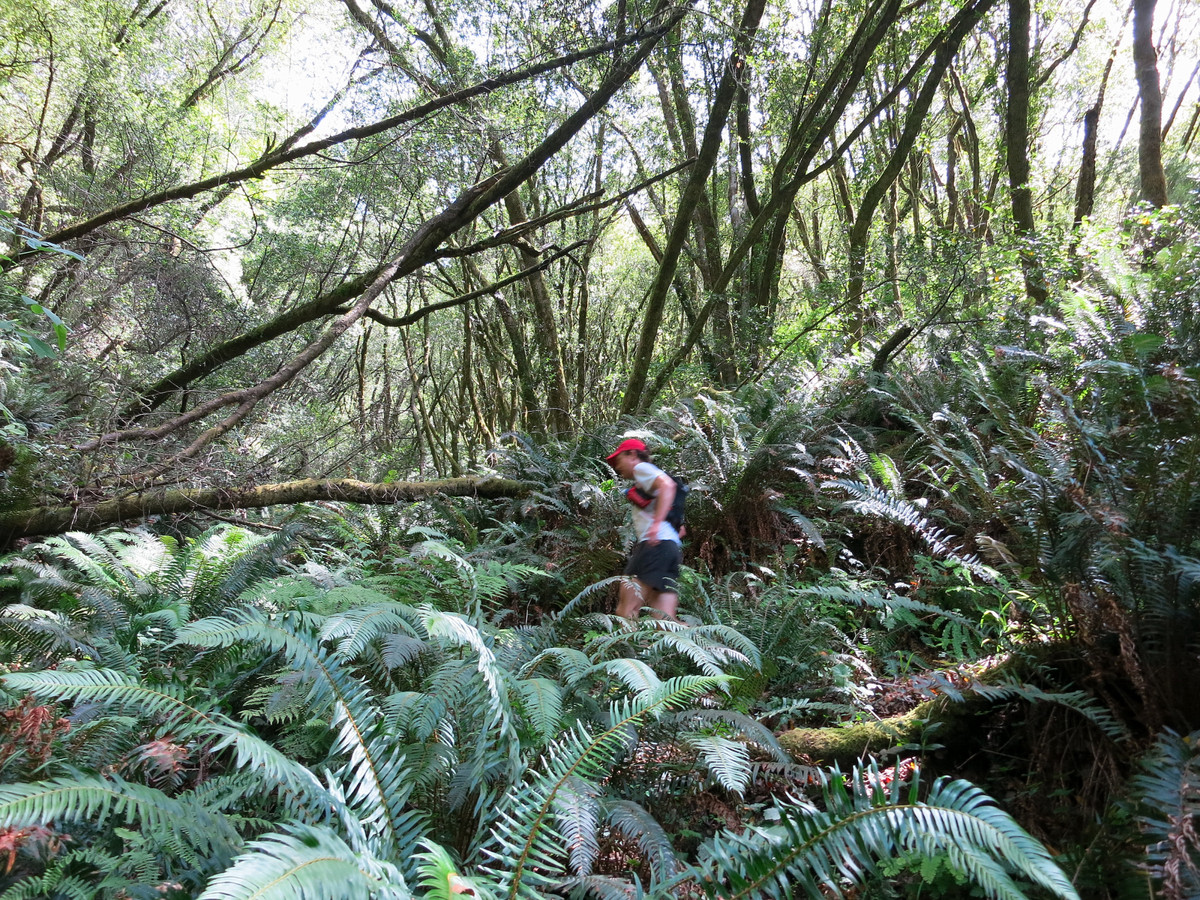
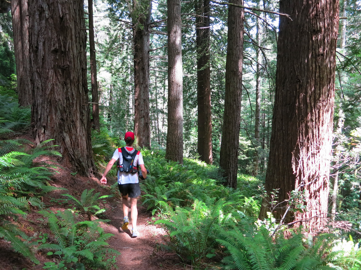
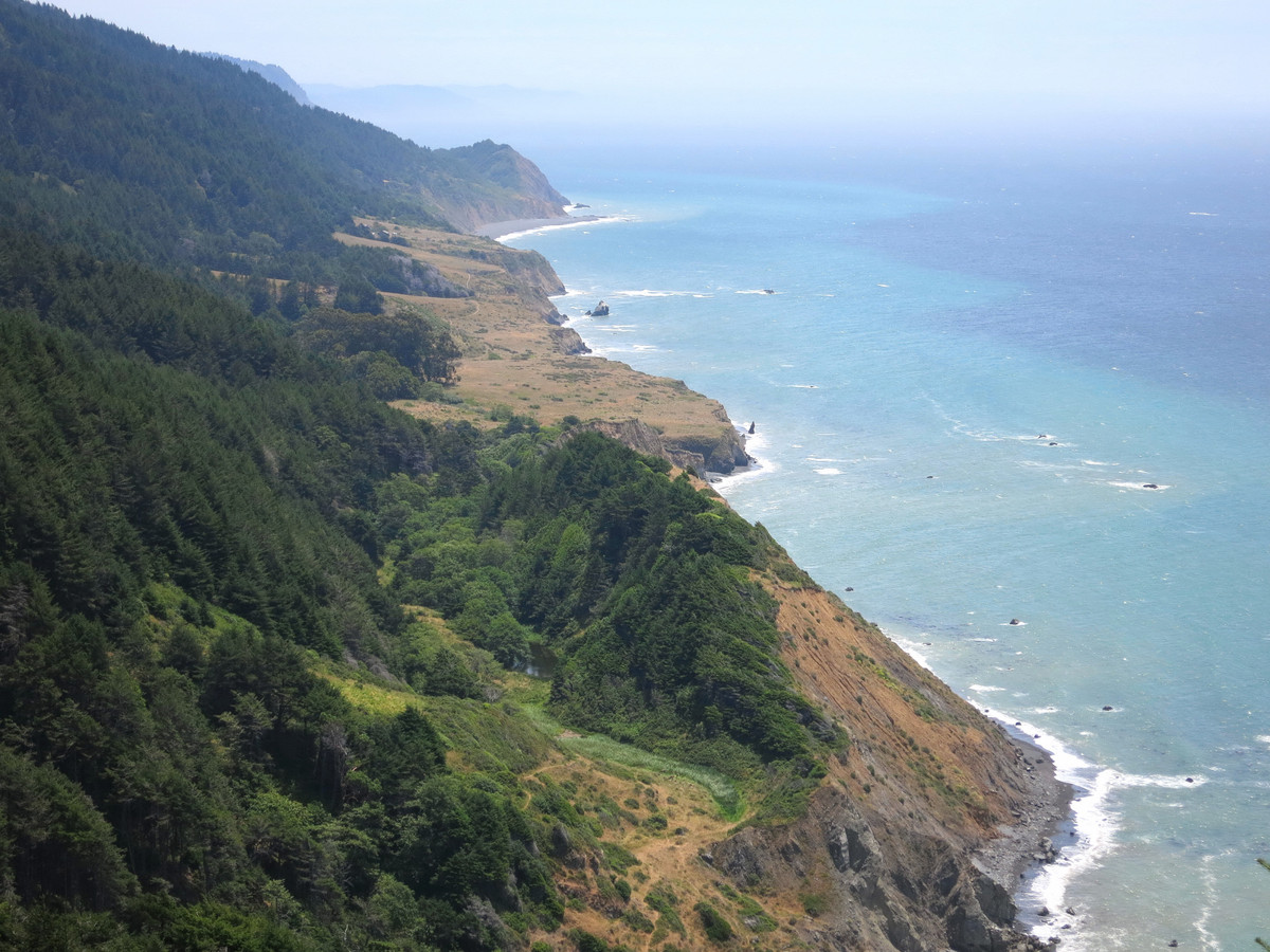 The northern portion of the Lost Coast is protected by the King Range National Conservation Area and 42,585 acres received Federal Wilderness designation on October 17, 2006. The southern portion is protected in Sinkyone Wilderness State Park, named after the Sinkyone Indians that lived on this part of the coast. The two sections are split by Shelter Cove, a small community of mainly vacation homes, but the parts are completely different in terms of their overall feel and experience. The northern section of the Lost Coast in the King Range NCA from the Mattole River to Black Sands Beach at Shelter Cove features a famous 24.5 mile beach walk with two-thirds of the distance spent on sand, gravel, and rock-hopping and the remaining third on trails just above the beach on coastal plains. The southern section took us from Hidden Valley in the King Range up and over Chemise Mountain and down into the Sinkyone Wilderness continuing all the way to the southern end of the Lost Coast Trail at Usal Beach for a total distance of 29 miles from Hidden Valley to Usal Beach. Joining these two sections was a 3.5 mile climb on Shelter Cove Road resulting in aggregate distance of 57+ miles for the Complete Lost Coast from the Mattole River to Usal Beach. It should be noted that the last 16 miles to Usal Beach from Bear Harbor are along an arduous narrow trail that is relentless in its steep ups and downs (6,000+ elevation gain), and includes sections of thick brush and often poor footing on very eroded slopes. Whether this challenging stretch is done at the beginning or end of the journey, it will require a good amount of time and energy. While I have been on this section of trail now three times, it seems to only get slightly easier each time! I should also note that special attention must be paid to the tide schedules in the northern King Range beach walk portion. There are long sections of the coastline that are impassable in high tides when the waves come right up to the cliffs. It would be extremely dangerous to be stranded in one of these sections during or approaching high tide. Careful preparation with the park BLM park map and a tide schedule is essential. In fact, our decision to go from north to south was chiefly dictated by a low tide in the morning. GPS route here.
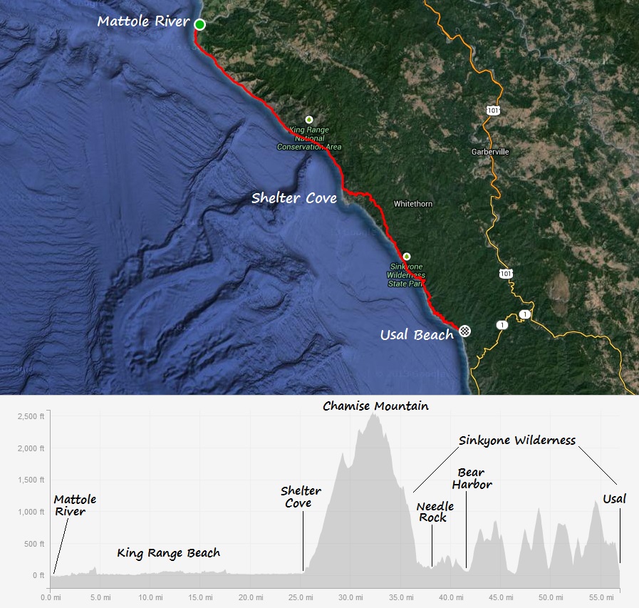


3 Comments Add yours