
Photos here.
The Desolation Seven Summits loop offers the best showcase of the Desolation Wilderness I can think of and arguably contains the most rugged and impressive mountain scenery of any route in the Sierra Nevada north of Sonora Pass. The aesthetic loop climbs seven of the high points in the Desolation circumnavigating Lake Aloha and also providing grand vistas of Lake Tahoe. The loop contains a nice mixture of big climbs, scrambling and trail miles. Total mileage is close to 30 miles with nearly 10,800 ft of elevation gain. Considering the vast majority of the elevation gain is off-trail on often arduous terrain, this is a great workout.


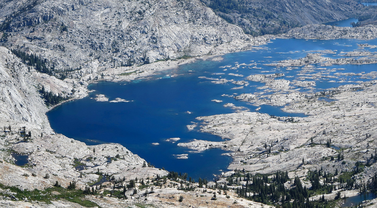
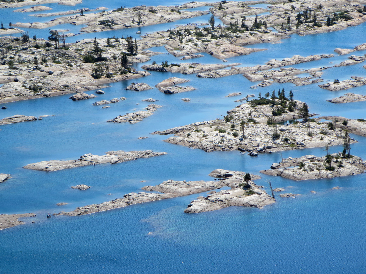
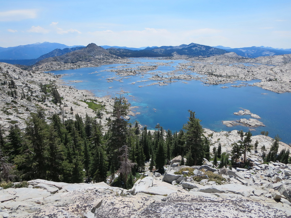
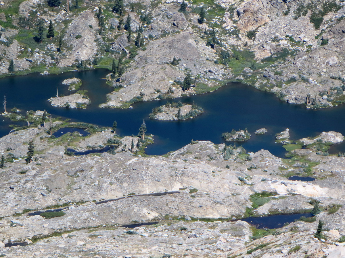
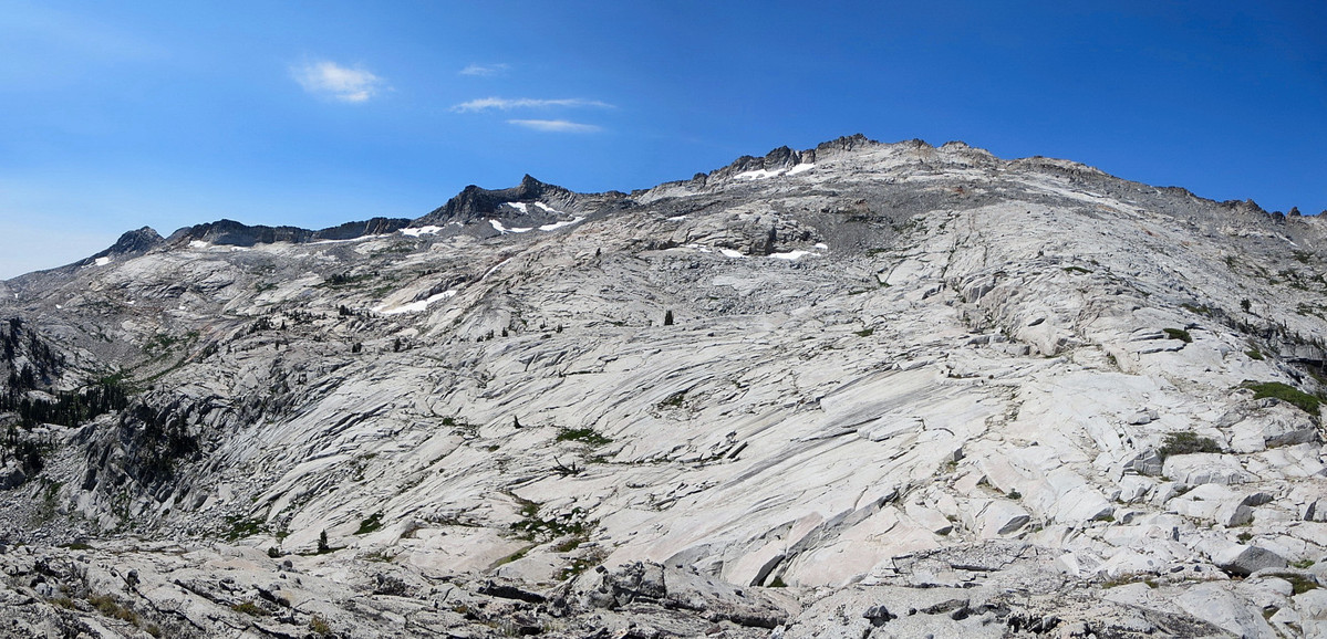
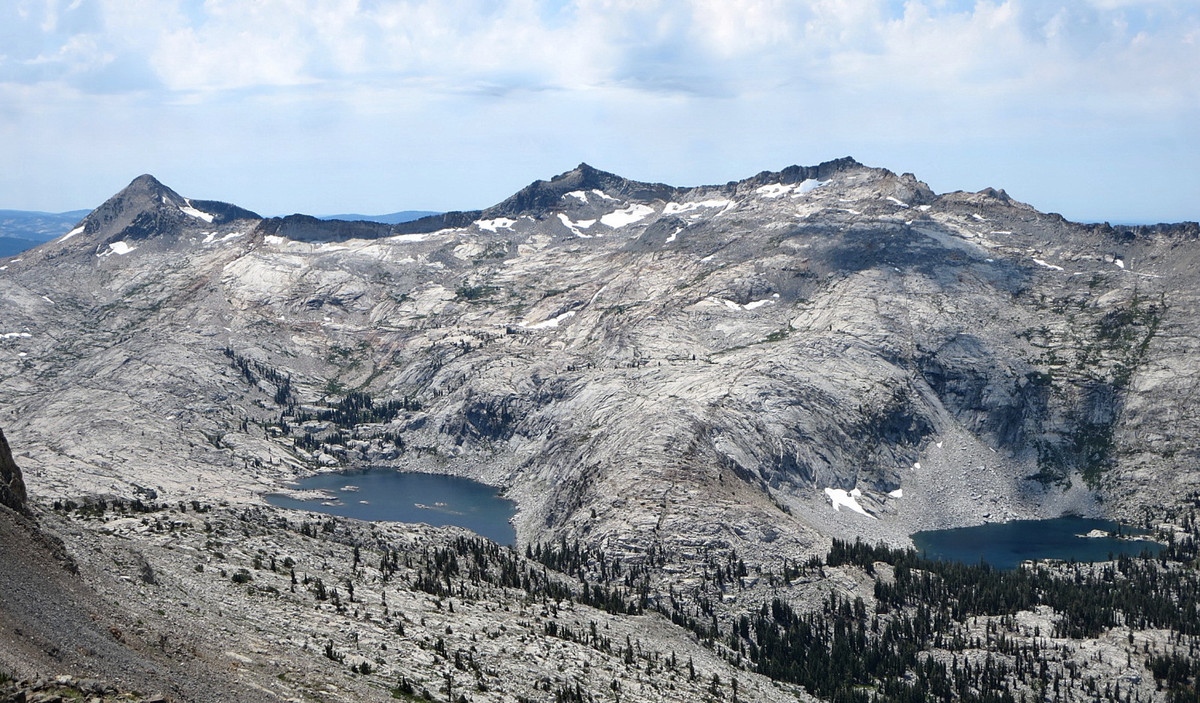
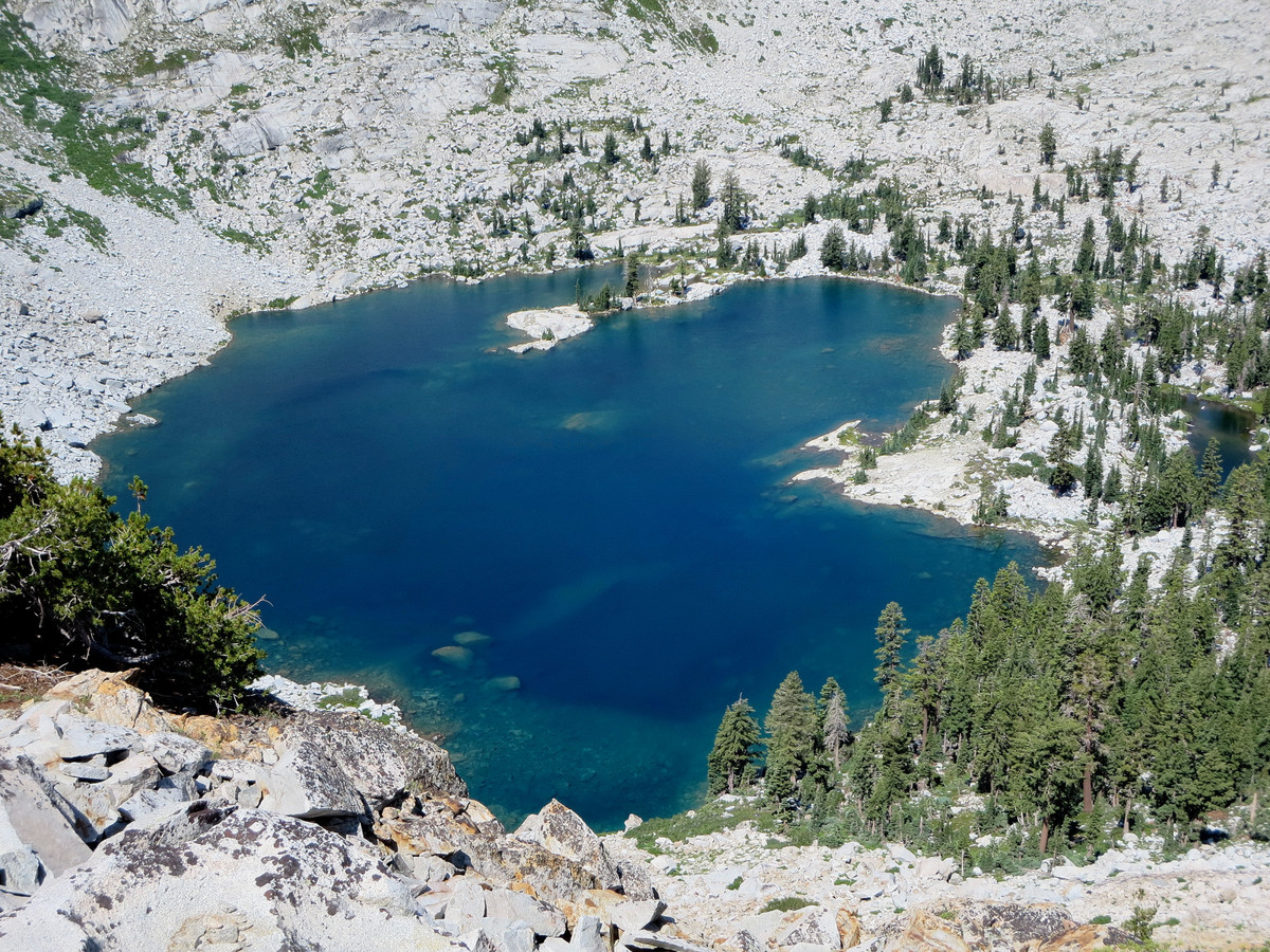
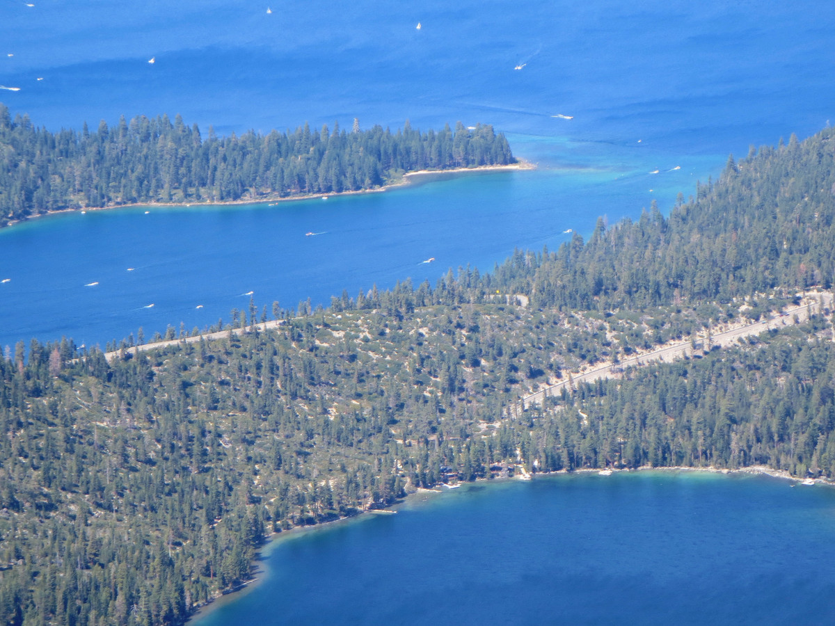
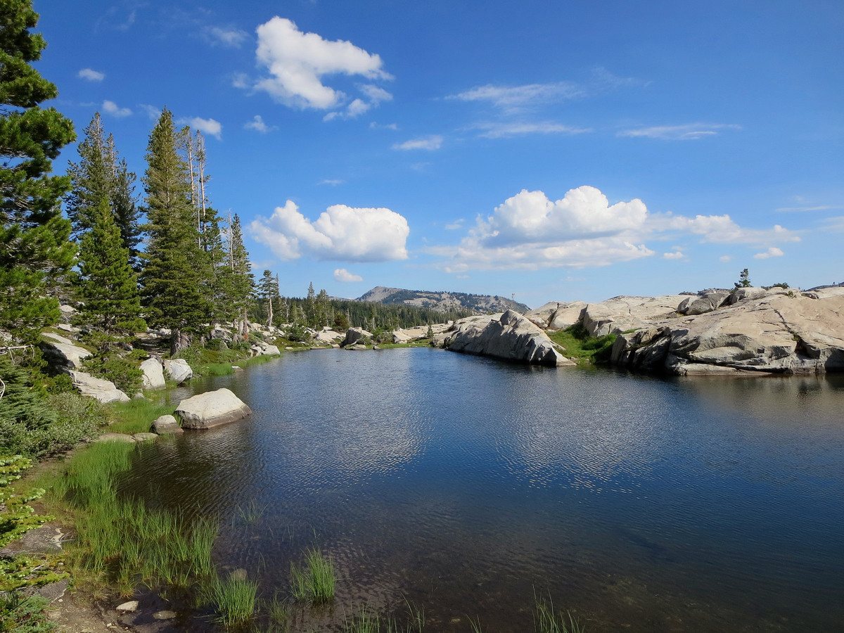
The Desolation Wilderness is located west and southwest of Lake Tahoe and is known for the granite landscape created by the Crystal Range with its beautiful lakes and views. It is easily the most rugged area of the Tahoe basin. With such beauty and relative close proximity to the Sacramento metro area and South Lake Tahoe comes over-appreciation in the form of crowds and trail quotas. However, this route explores sections of the wilderness that still feel wild, largely owing to the fact that the heart of the route between Pyramid Peak and Dicks Peak is entirely off trail. You won’t see many other people on this section, if any. I personally have yet to see anybody in the Desolation off a trail. It is this off-trail section that also provides the most spectacular views of Lake Aloha, the crown jewel of the Desolation, and the Crystal Range. Last summer when I did this loop I skipped Ralston Peak (it was the Desolation six summits; photo album with ideal photography conditions in 2012 here) but tagged it on the way out this time. I found Ralston to be a worthy addition with great views of Echo Lakes and a different perspective on the Crystal Range and Lake Aloha. Even with the addition of Ralston, I managed to go 40+ minutes faster than 2012 finishing in around 11 hours total. The faster time is attributed to (1) better navigation between Pyramid Peak and Mount Agassiz, (2) better route up Jacks Peak, and (3) taking the Tahoe Rim Trail to Gilmore Lake and Mount Tallac from Dicks Pass instead of the off-trail ridge. Without taking hundreds of photos and nursing a nagging injury, I imagine this loop would go in less than 8 hours. Strava route here. 


Was out on the Crystal Range Ridge portion of the traverse the day after you and saw your name in the summit logs. Noticed your time to Price was 2 something(sorry cant quite remember the exact time) I was shocked by that as it took me around 3:30 staying on the true ridge from Ralston TH. Did you stay on the ridge or drop into the basin west of it and then headed straight for Agassiz from Pyramid? That little notch on Pyramids north ridge seems like it would provide quick access to that area and limit a lot of the bouldery type stuff on the ridge. Regardless of the route really strong work out there, the weather was awesome the next day, so clear, by the looks of it you had the same, hard not to take hundreds of photos on days like that. Keep up the good work Leor always love checking in on your adventures from time to time.
Rory