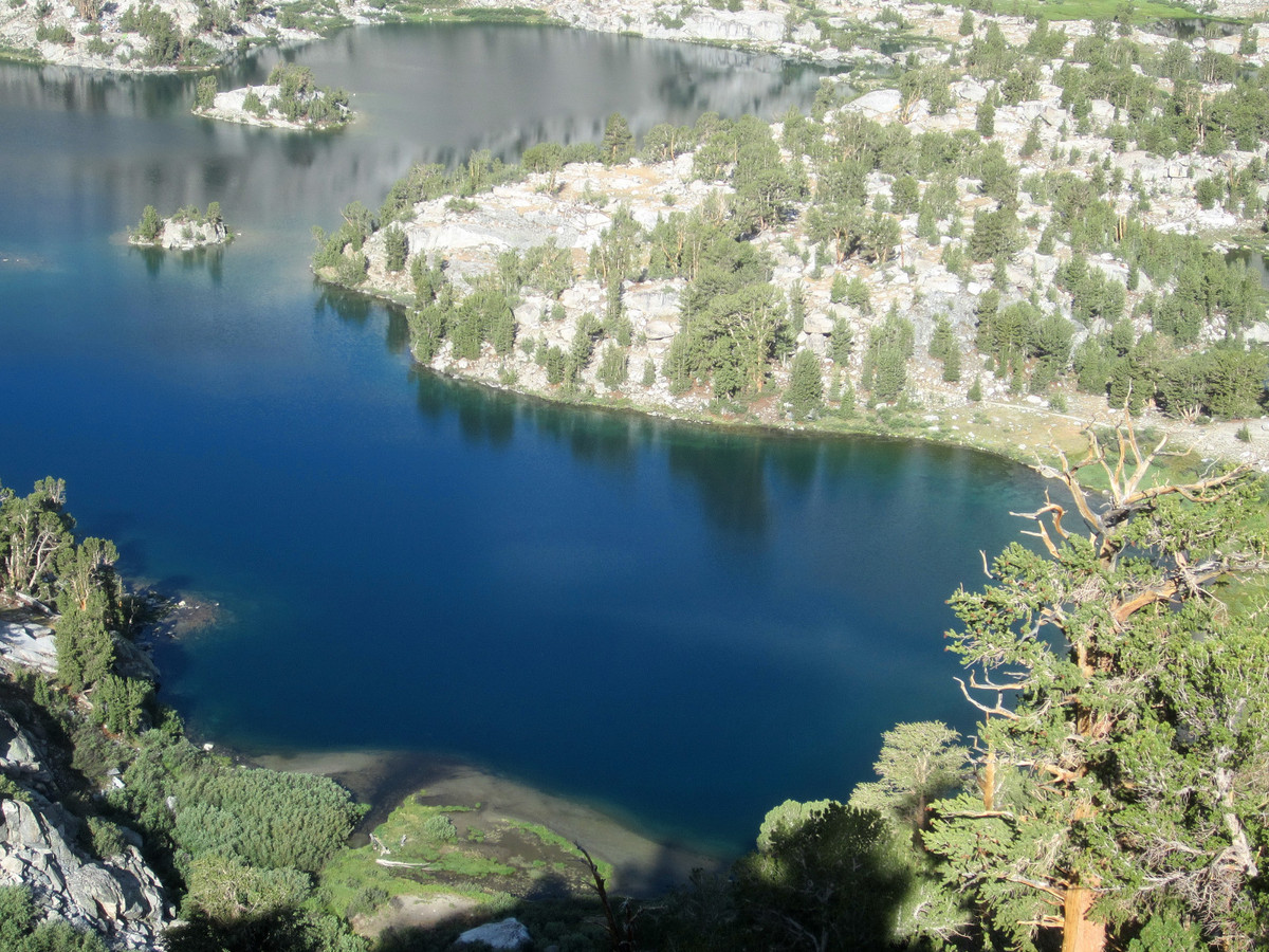
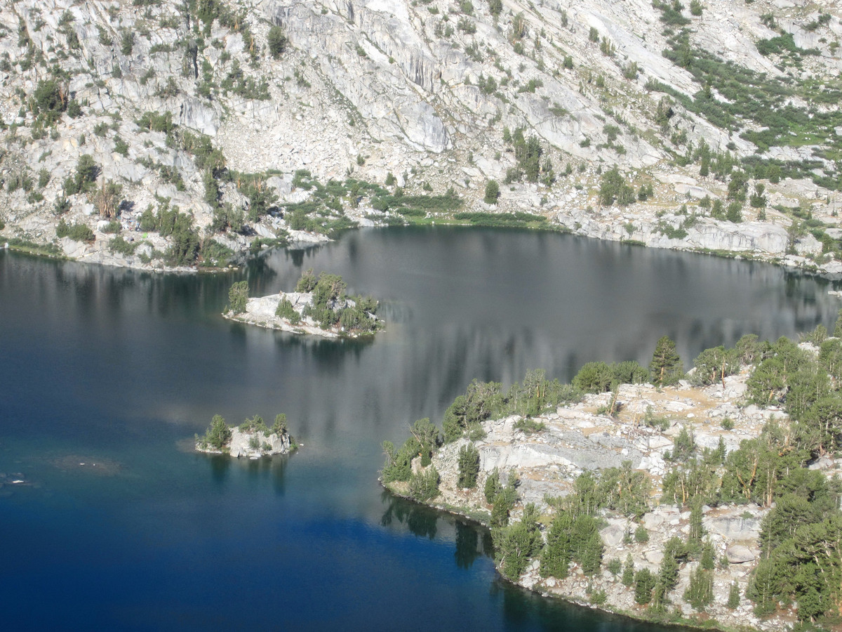
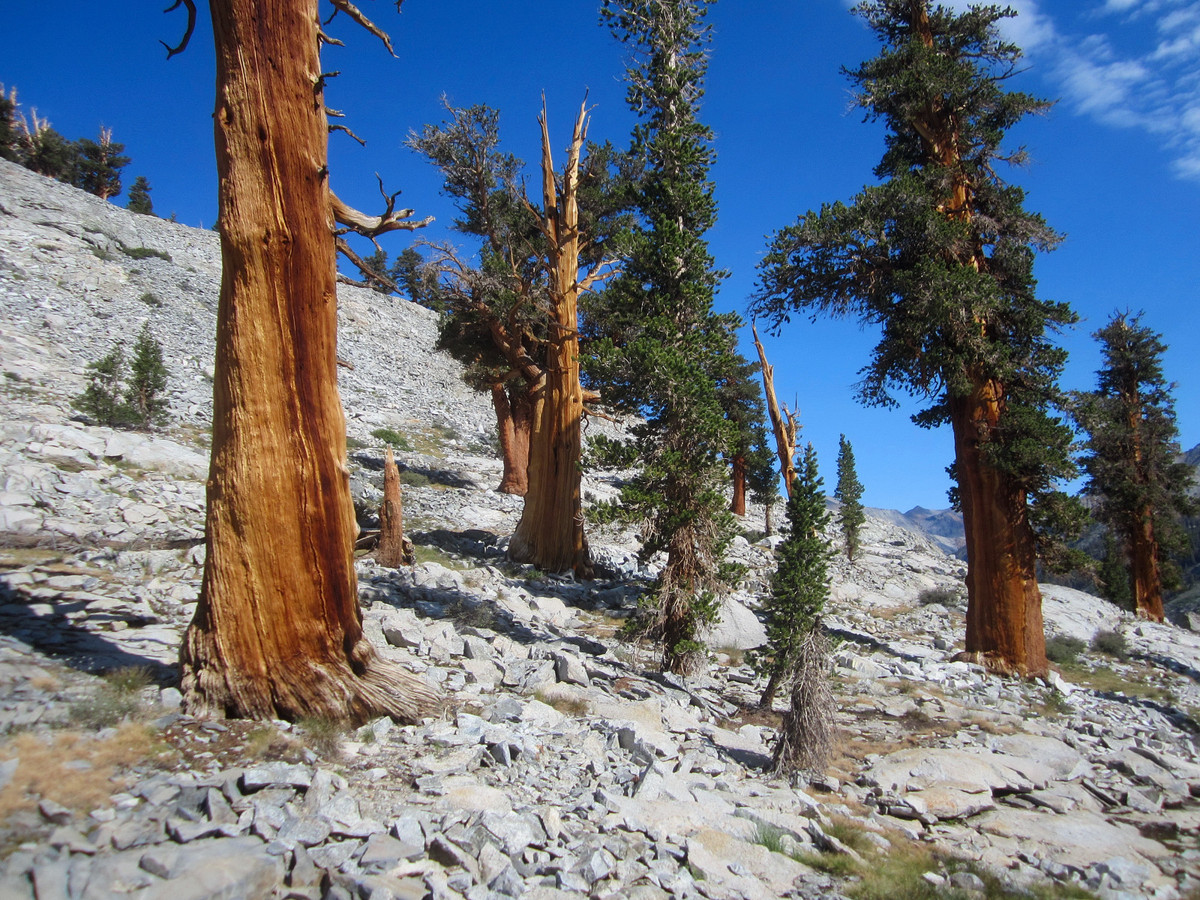
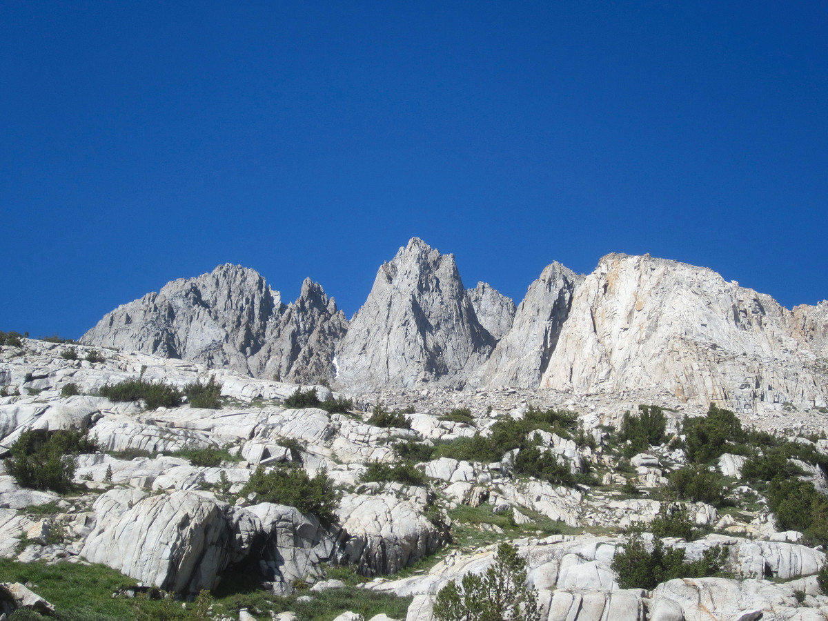
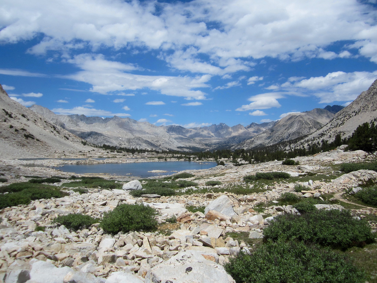
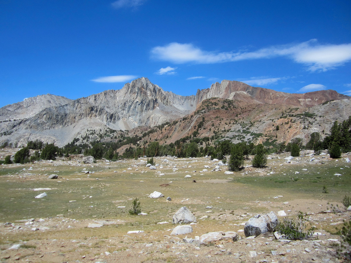
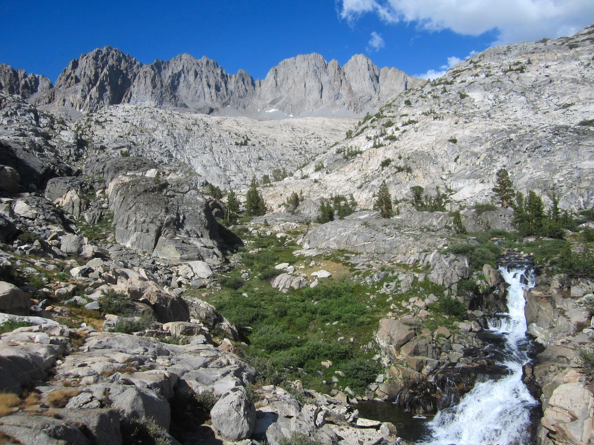
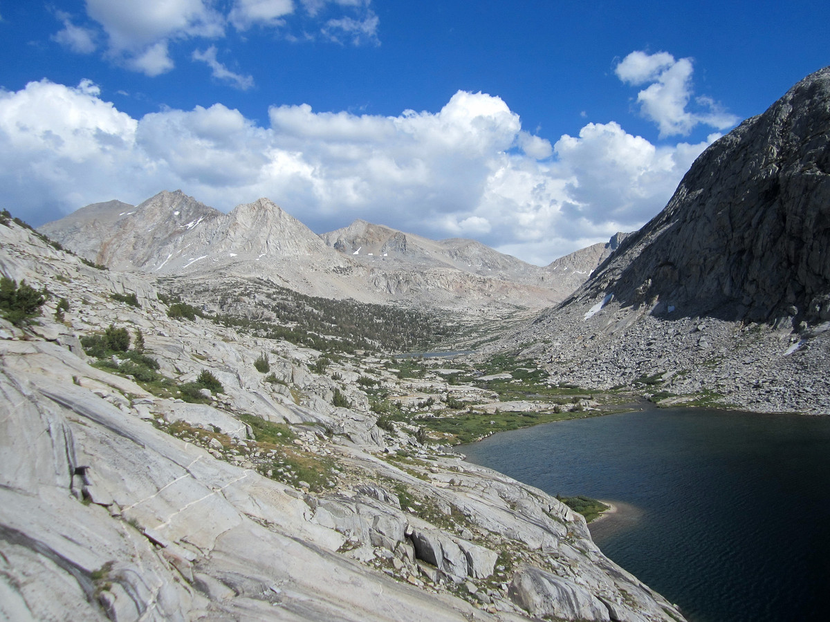
An Onion Valley to South Lake trip has been on my list for a number of years. The route largely follows the JMT on arguably one of the most scenic stretches of the trail and includes Pinchot Pass and Mather Pass (and Glen Pass if all trail is taken). The trip is 65 miles all on trail, but I cut off 5 miles by taking Gould Pass over the crest directly into the Rae Lakes basin instead of Kearsarge Pass and Glen Pass. While the off-trail route was shorter, it did not save much time (probably added time) and certainly required more energy. Gould Pass is rated at class 2, but it’s arduous travel beyond Golden Trout Lake. On top of that I made some small route finding errors that cumulatively cost time and energy. Once at Gould Pass, it’s not a cake walk descending into the Rae Lakes basin either. First, there is a steep and loose gully to negotiate and then a lot of cumbersome boulder hopping through an old glacier moraine down to Dragon Lake. From Dragon Lake, a faint use trail heads down to beautiful Rae Lakes where I was excited to finally hit a trail. I don’t regret taking this route with stunning views from Dragon Lake and one of the best photography angles I have seen of Rae Lakes, but next time I will likely utilize Kearsarge Pass and Glen Pass to save that energy for all the running that follows on the JMT.

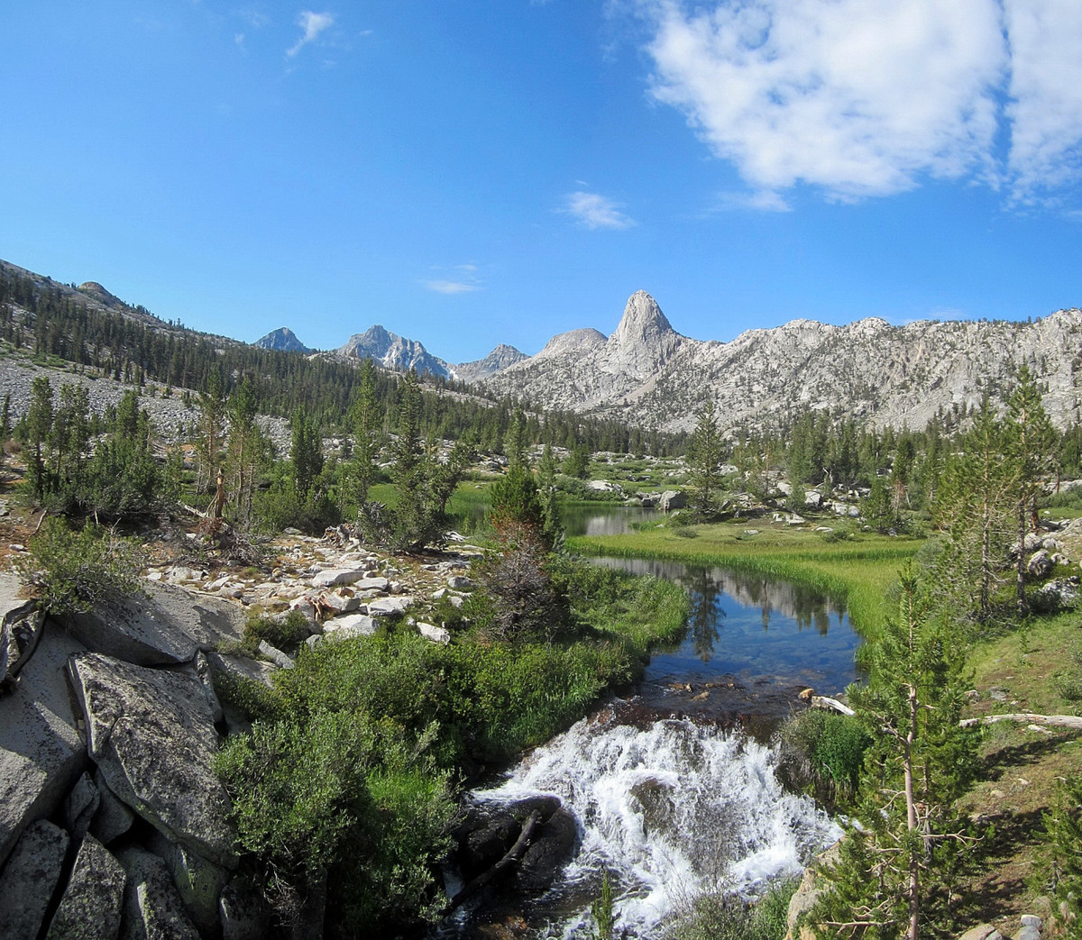
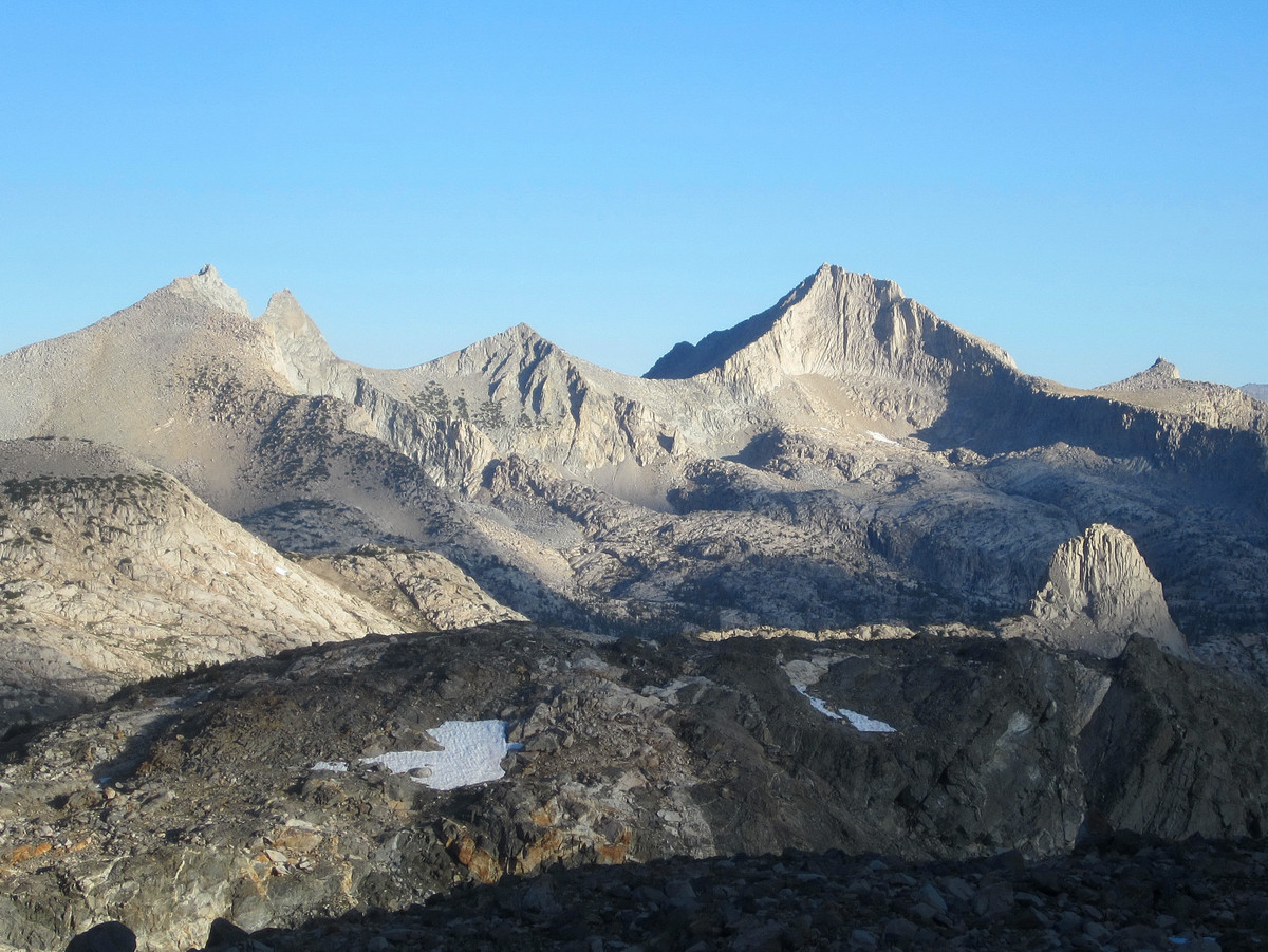
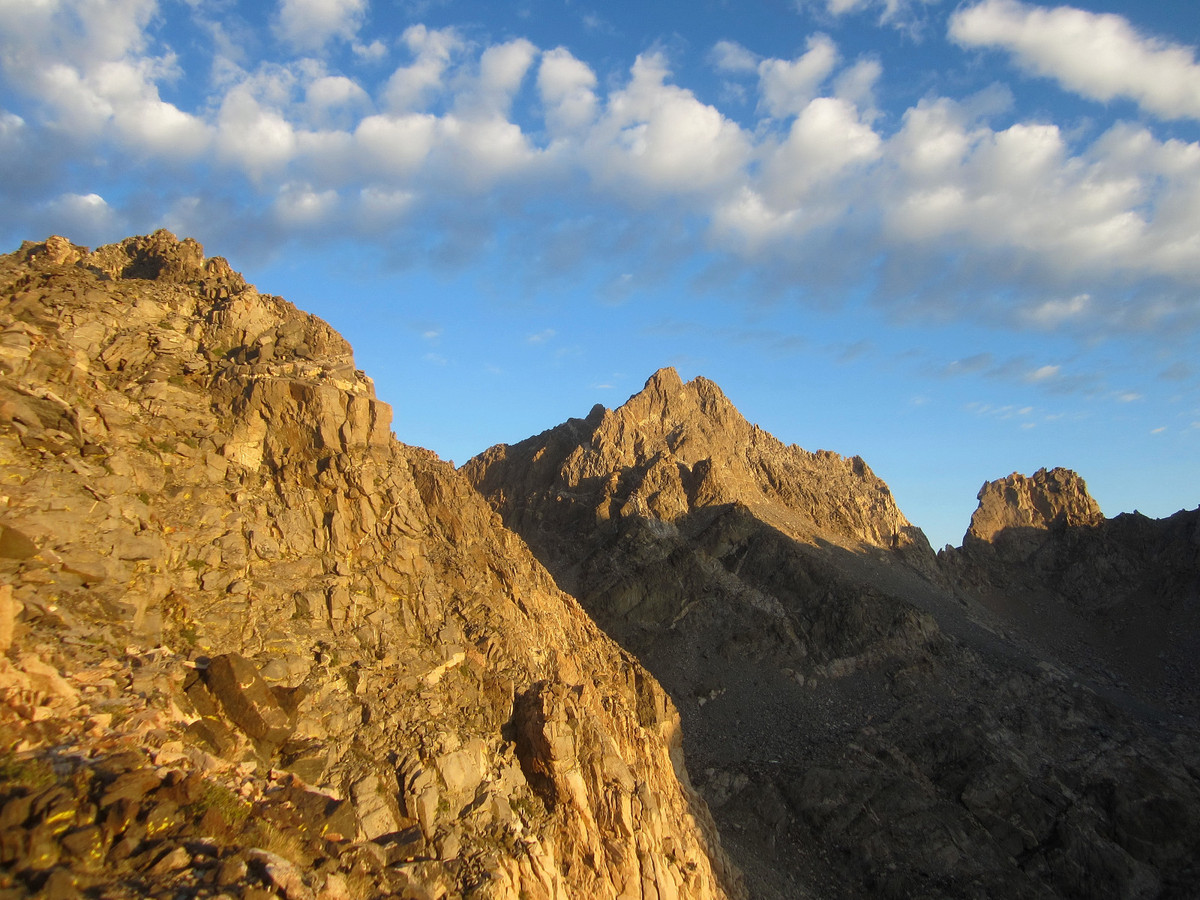
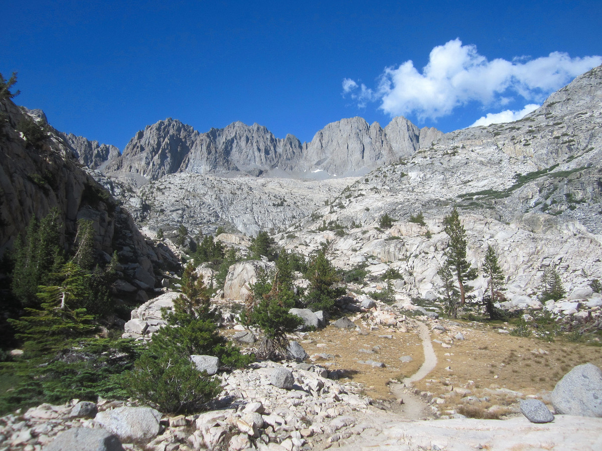
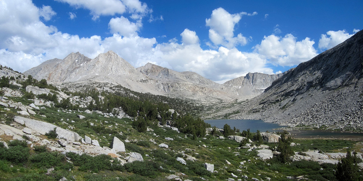
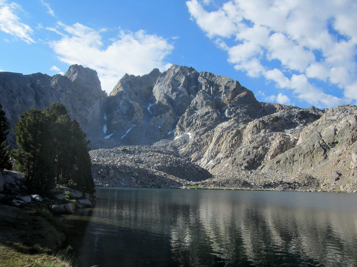
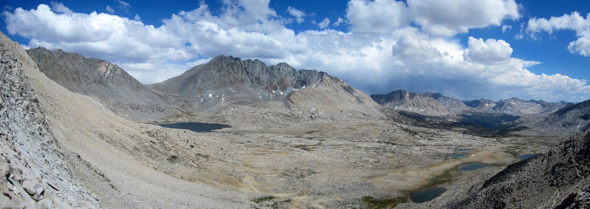
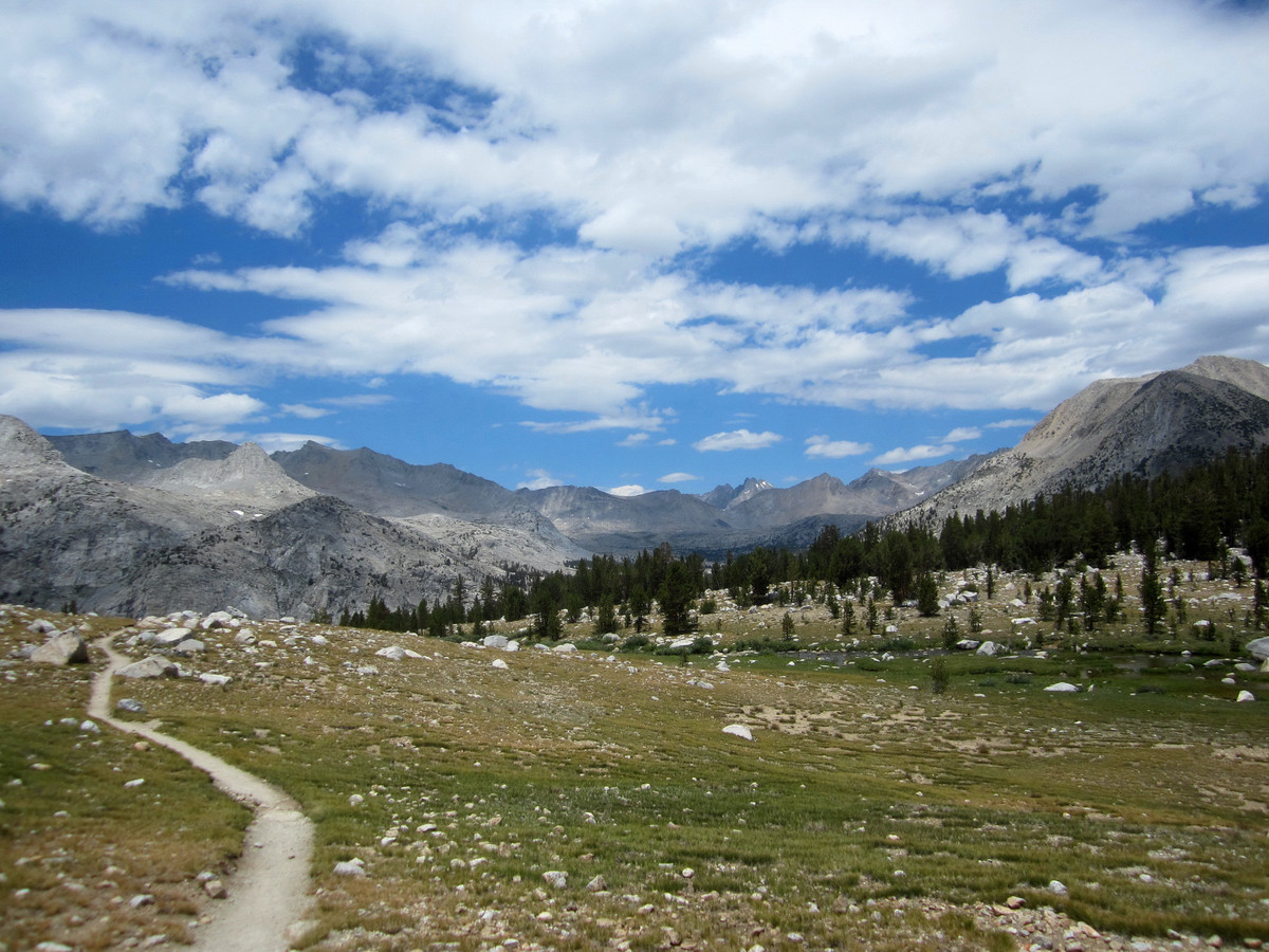
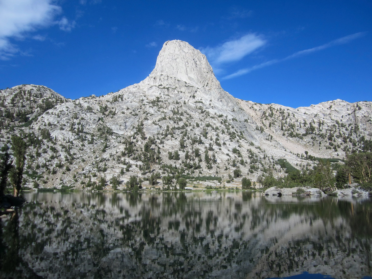
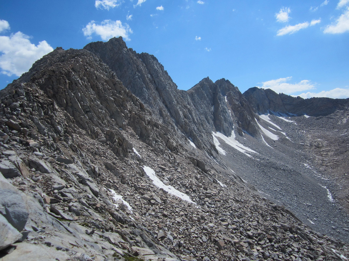
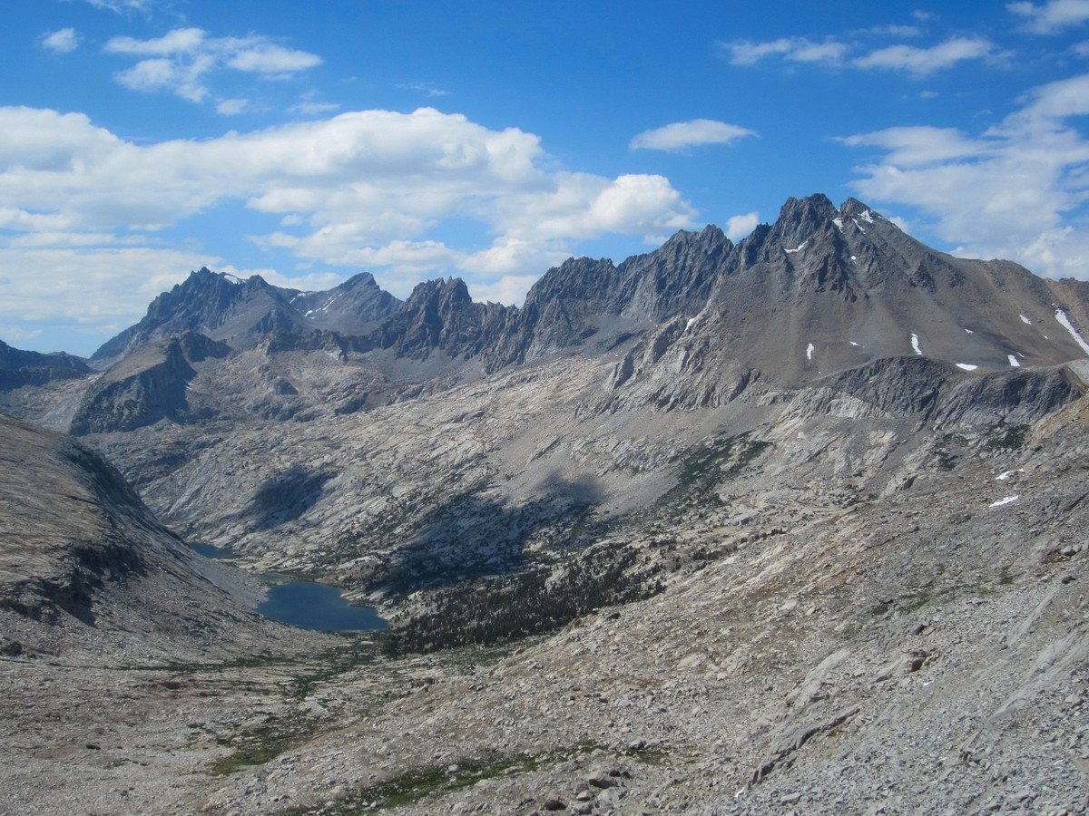
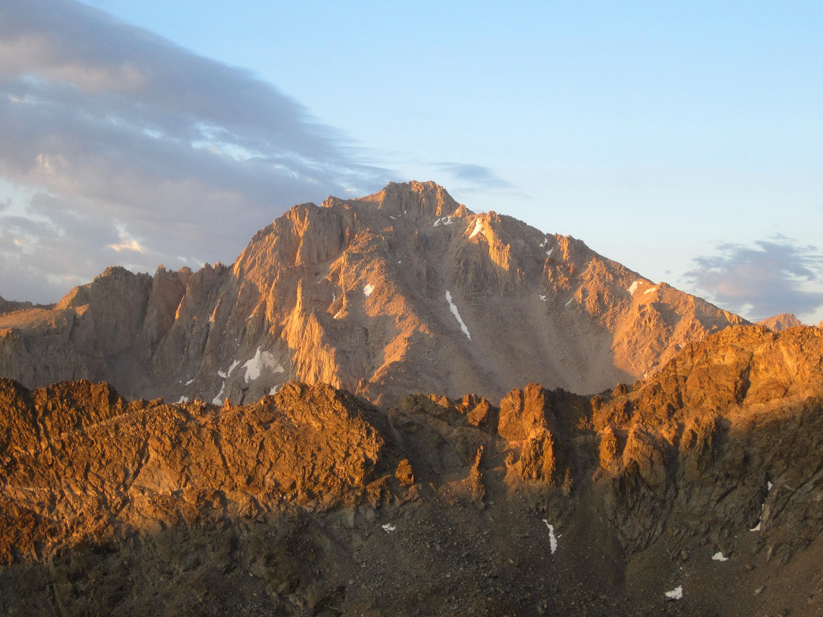
It’s hard to resist not taking a lot of photos and enjoying the spectacular scenery at Rae Lakes, one of the my favorite spots in all of the High Sierra. Once I finally exited the basin I made good progress down Woods Creek and the climb to Pinchot Pass. This was my first time up Pinchot Pass and it’s a long, but gradual climb. From Pinchot Pass I continued toward Upper Basin and the final slog up to Mather Pass. At Mather Pass I enjoyed the beautiful view of the Palisades and then made the descent to Palisade Lakes. From these lakes, I had initially planned to scramble up to Palisade Basin and cross over into Dusy Basin via Thunderbolt Col and Potluck Pass, but extensive off-trail travel no longer seemed appealing so I continued down to the Middle Fork of the Kings River. This was a long way on trail and although I was moving fine, it still took a long time. By the time I got to the final climb up to Bishop Pass I was growing tired and as the sun set over Dusy Basin my energy levels had sunk. After hydrating and eating I eventually I made it up to Bishop Pass and down to the South Lake trail head. It was close to 11 pm when I arrived; 18 hours after starting. A “head down” approach could probably yield a time of under 14 hours for the route, but in all the times I’ve visited Rae Lakes, I still can’t keep my head down! This is a classic segment of the JMT and I will definitely return. Next time I will do Kearsarge Pass and pick up the JMT at Charlotte Lake. I will also aim to use the cross-country route to Dusy Basin and Bishop Pass via Thunderbolt Col and Potluck Pass. Either way you slice it (trail or cross-country variations), this is a challenging route for a single day adventure run, but well worth the efforts with the amazing scenery. 


Awesome photos. My favorite: the second one (well, many others too). I’m wondering, do you ever come across other hikers while you’re out in the wilderness?
Thanks Janet. I usually come across other hikers if the route has a lot of trail miles like this one did.
those pictures are incredible! cant wait to try it. thanks for sharing
Was backpacking the Rae Lakes loop at the same time, cool to see photos of your adventure going on concurrently.
This is one heck of a day on the trail! As I looked at my map, I was amazed how far up South Lake was. Your posts are simply epic and quite enjoyable to view. It would be cool if Blogger had the ability to associate/link dots on a map (gps coord.) with photos. Wow. What was your primary fuel – hourly, 1/2 hourly – gels-? blocks? – Gus
Thanks Gus. I think Strava is developing technology associating photo location with GPS map data so it will be exciting to see what comes of it. I have a mix of bars, gels, blocks and drink powder. While I tried to consume something every hour, I didn’t put any thought into when exactly and how much. I could probably be much more diligent about my caloric intake and I imagine that would help performance.
Great photos! What a hike.