I ran Butano State Park for the first time exactly 6 months ago. I thought it was awesome so I was overdue for a second visit. With nice weather, I brought a camera along to snap some photos and also check out a few of the coastal vistas on the San Mateo County coastline.
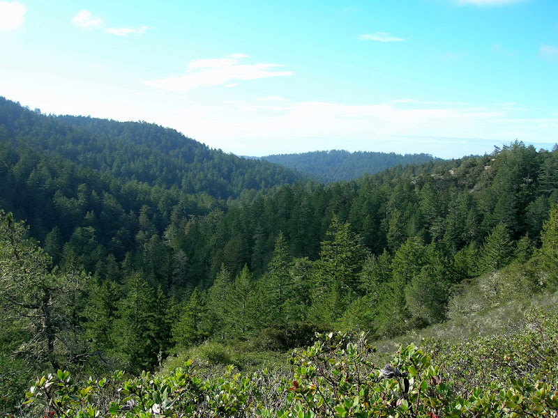
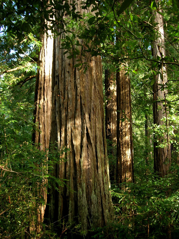
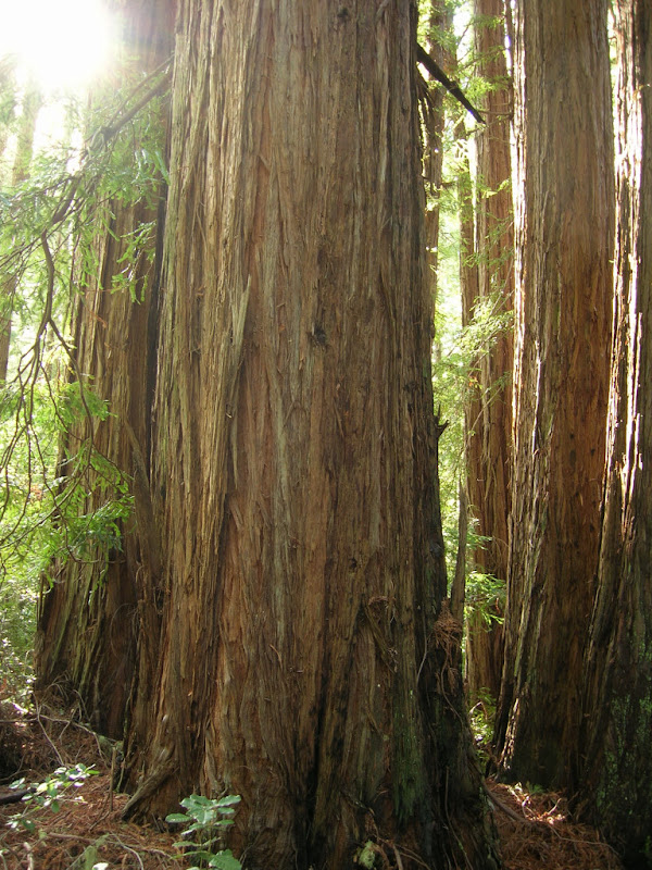
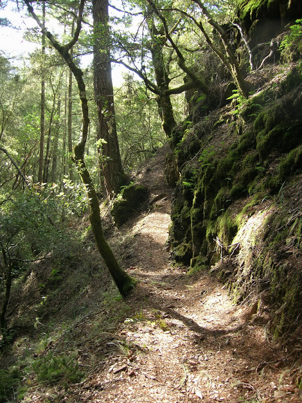
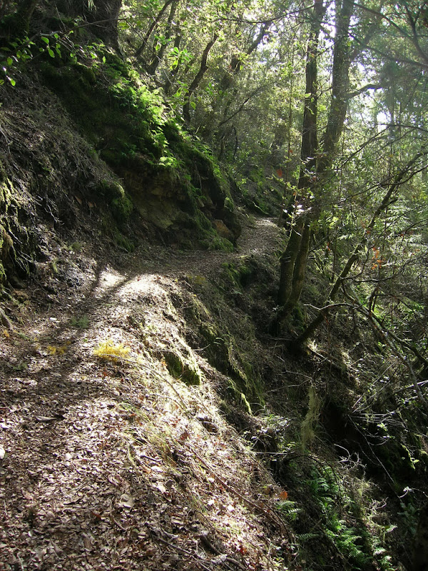
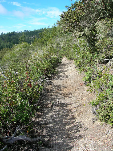
Virtually the entire 12 mile loop within the Butano State park is on narrow single track trails that are a delight to run. The highlight is the 2.75 mile Canyon Trail which runs along a hillside that is often steep so you have to watch your step to make sure you stay on the narrow track! There are also many small streams to cross as the trail zig zags through numerous small canyons. Both the Jackson Flats and Doe Ridge trails travel through redwood forest with a super cushion of needles on the trail. The loop has a great variety of plant habitats from lush redwood forest to dense mixed woodland to open chaparral with views of Little Butano Canyon.
This time I parked in a turnout near the junction of Canyon Road and Cloverdale Road (see park brochure for map). There is a pathway that connects to Butano Fire Road about 50 meters down Canyon Road. The Butano Fire Road gradually ascends 500 vertical feet over a couple miles to the Mill Ox Trail. The map leads one to believe a connection to the Jackson Flats Trail by the visitor center is possible, however, this is not so, and the first available turn-off is the Mill Ox Trail. Part way down the Mill Ox Trail, I turned onto the Jackson Flats Trail and continued the loop as before.
The Butano Fire Road extension to Canyon Road added around 3.5 to 4 miles making the run about 15.5 miles. As a variation, you could also turn left on Goat Hill Trail as opposed to right and continue toward the Ano Nuevo Trail, which I have yet to run. You can also cut 2 miles out by taking the Mill Ox Trail up from the Butano Road instead of continuing to the Six Bridges Trail.
Route Itinerary: Park Brochure/Map
- Canyon Road Connector Pathway
- Butano Fire Road
- R on Mill Ox Trail
- Jackson Flats Trail
- Canyon Trail
- Indian Trail
- Olmo Fire Road
- Doe Ridge Trail
- Goat Hill Trail
- Butano Creek Fire Road
- Butano Creek Trail
- Butno Road
- Six Bridges Trail
- Jackson Flats Trail
- Mill Ox Trail
- Butano Fire Road
- Canyon Road Connector Pathway
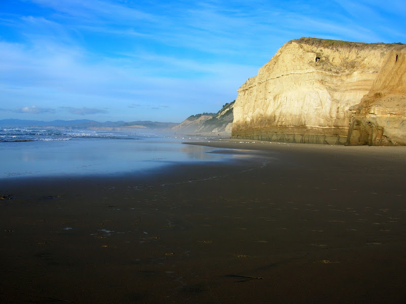
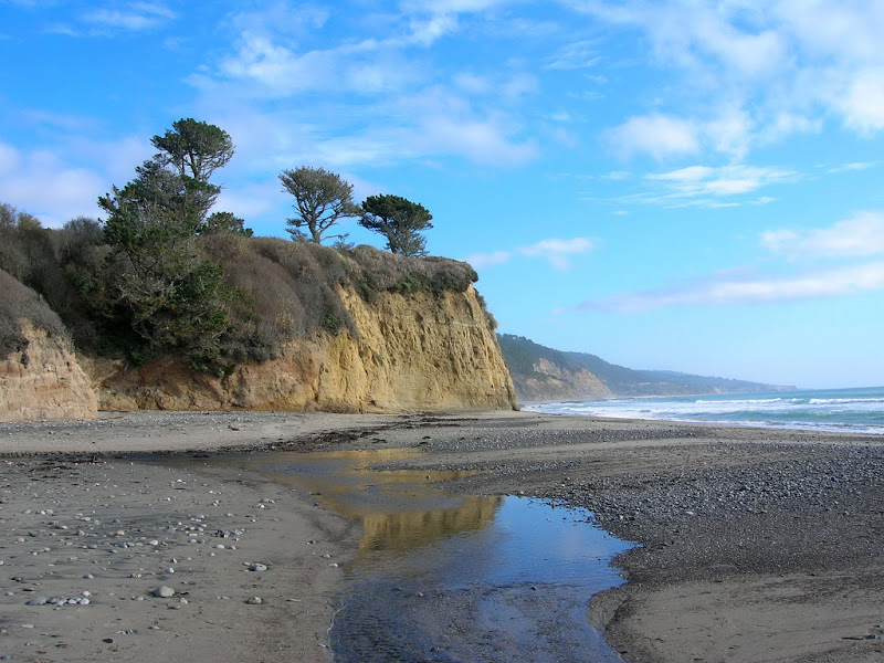
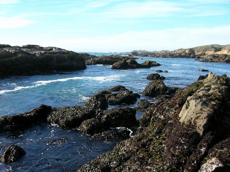
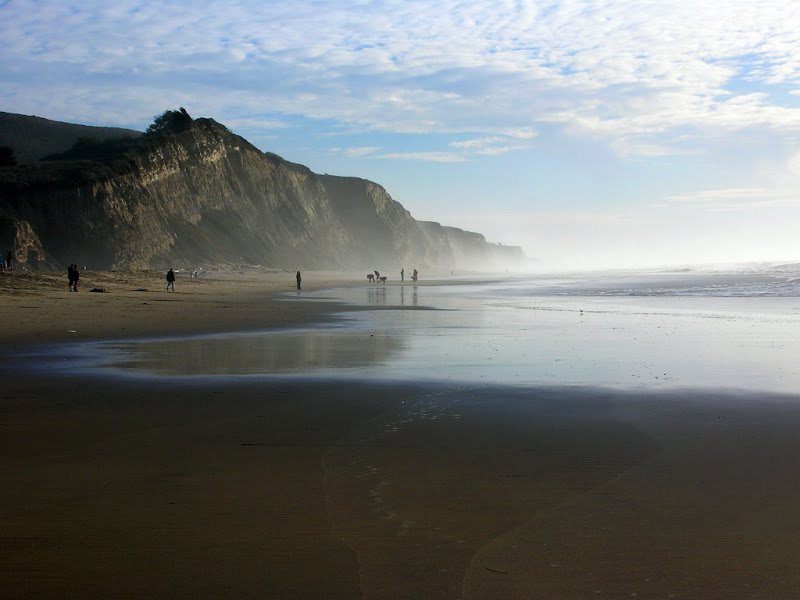
After the run, I made stops at Ano Nuevo State Reserve and San Gregorio State Beach. There are many more places along the San Mateo County coastline I have yet to explore. I also hope to return to Ano Nuevo to see the elephant seal colony in the restricted area requiring a guided walk.

Hello
Great pics, we are headed to Butano later today to do some hiking.
Pat