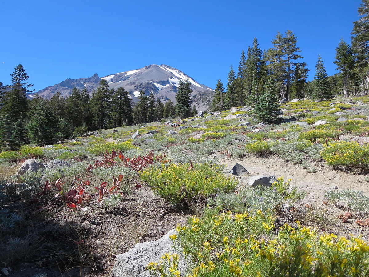
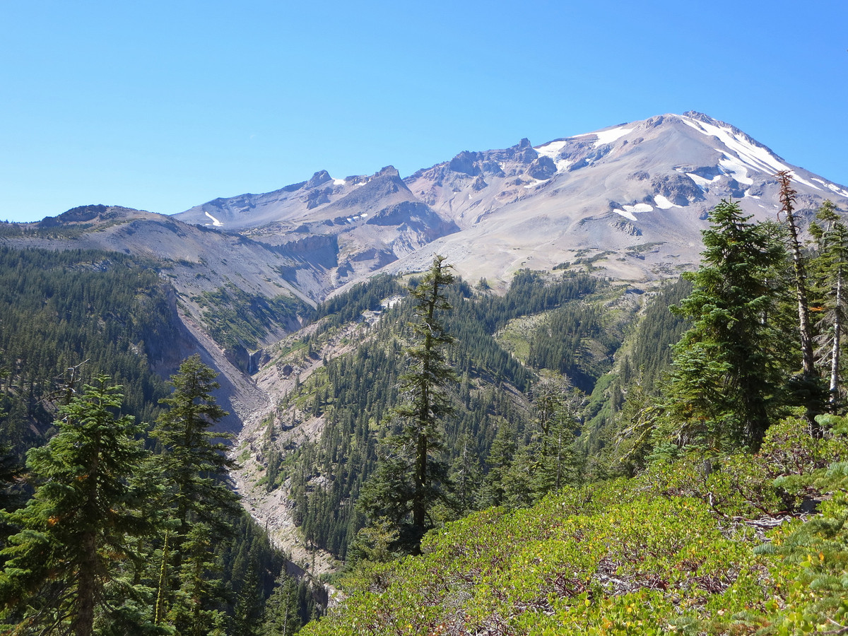
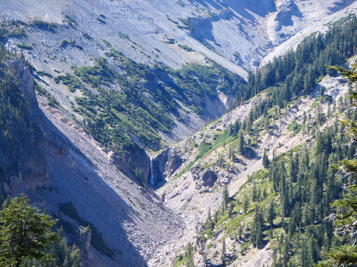
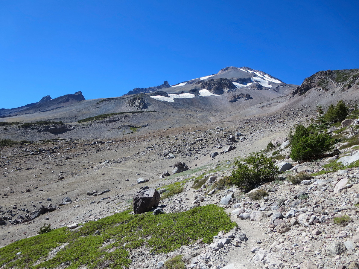
Opting to leave the Bay Area Saturday morning to avoid Friday evening traffic on Labor Day Weekend (with the Bay Bridge closed) was a good choice. The primary objective for the weekend was the Trinity Alps (see prior posts), but Shasta seemed like a fun objective to squeeze in Saturday midday. On my first attempt of Shasta in 2009 I was nearly blown off the mountain due to whiteout conditions but I came back in June 2010 to summit in much better conditions. Both of my previous experiences were on the standard Avalanche Gulch route with 100% snow coverage. This time couldn’t be more different with only one small patch of snow to cross near the summit and attire consisting of shorts and a t-shirt. In late summer, the south and west sides of Shasta consist of much loose material (sand, pumice and gravel). I chose the Clear Creek Route since it’s very straightforward and would give me a view of Shasta I hadn’t seen before. The access road to the Clear Creek trailhead is a gravel road and rough in spots (caution required for passengar cars) so it takes longer to access than the paved highway to Bunny Flat. The first part along the Clear Creek Trail is quite pretty with conifer forest at first and then wildflower meadows with views into Mud Creek Canyon and Falls and Mount Shasta looming above.
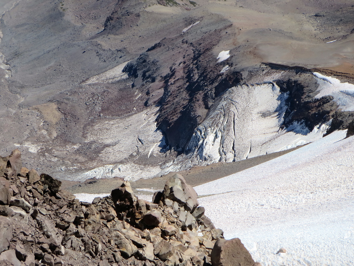
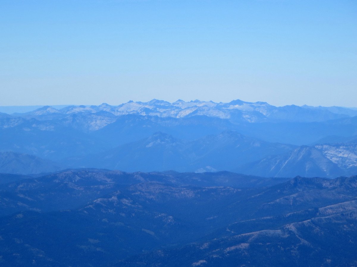
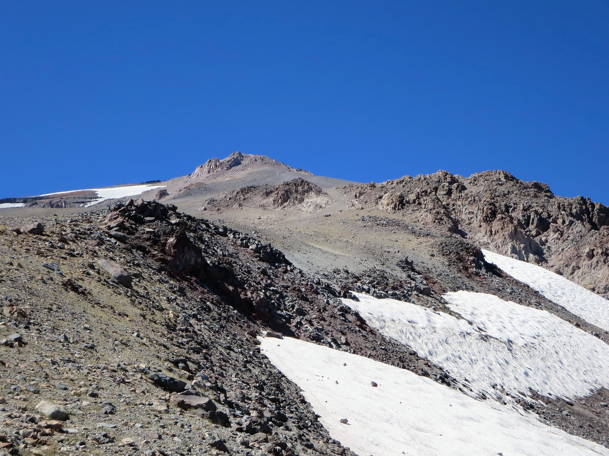
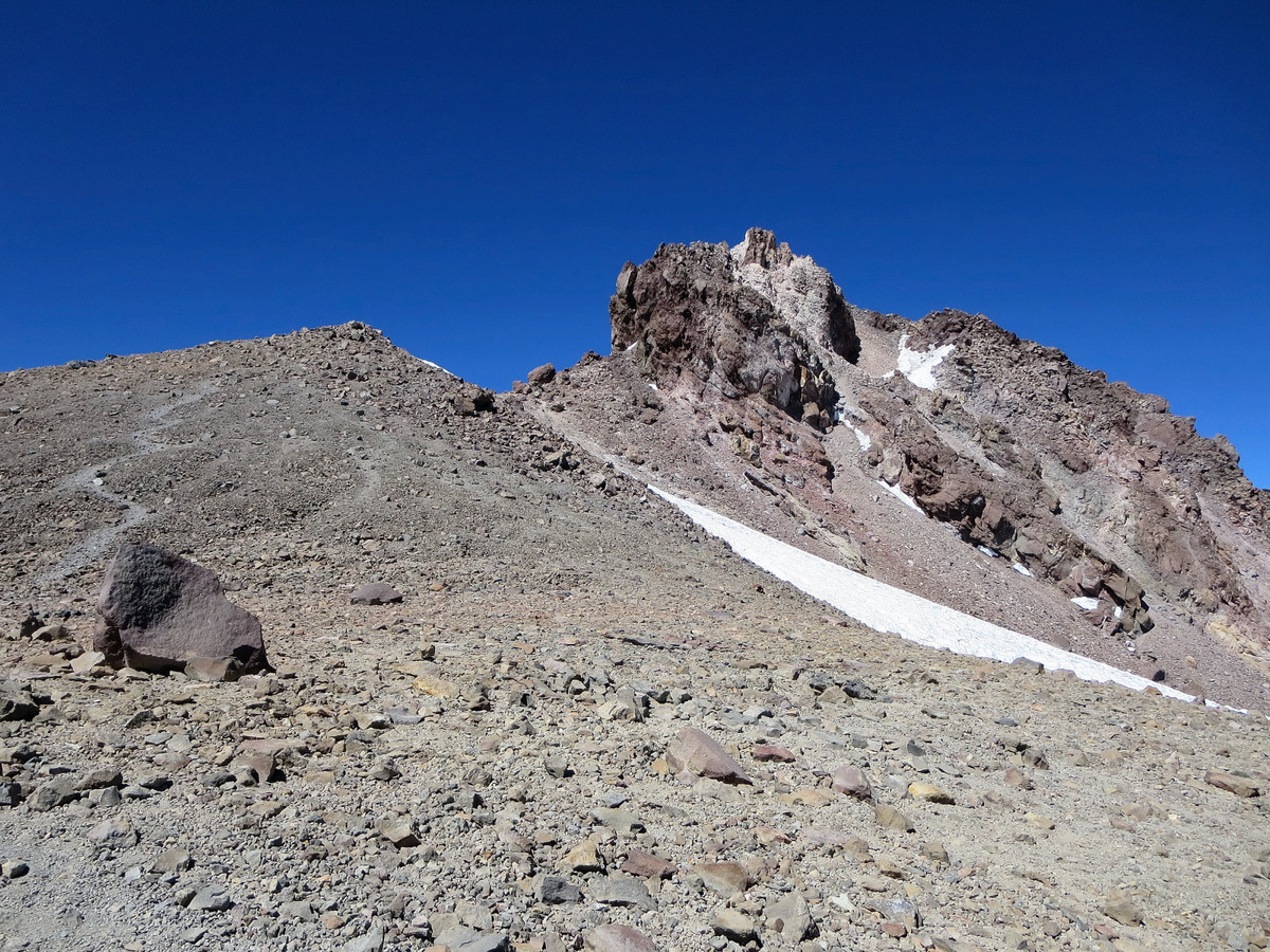
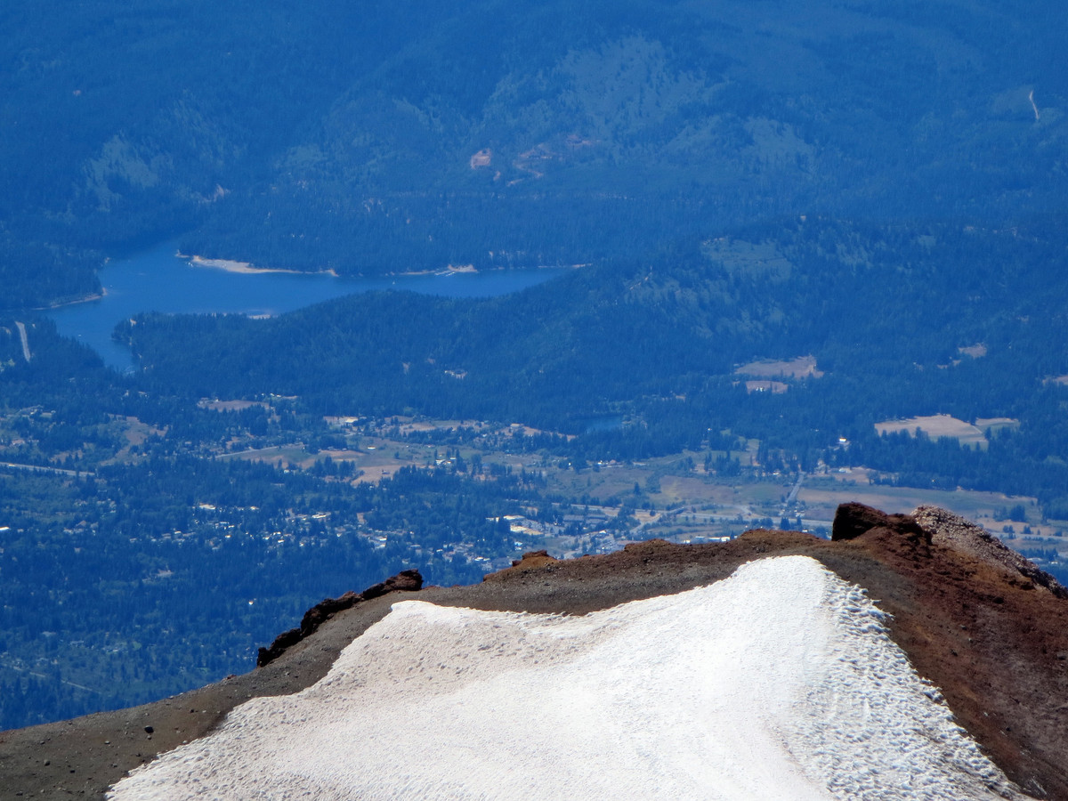
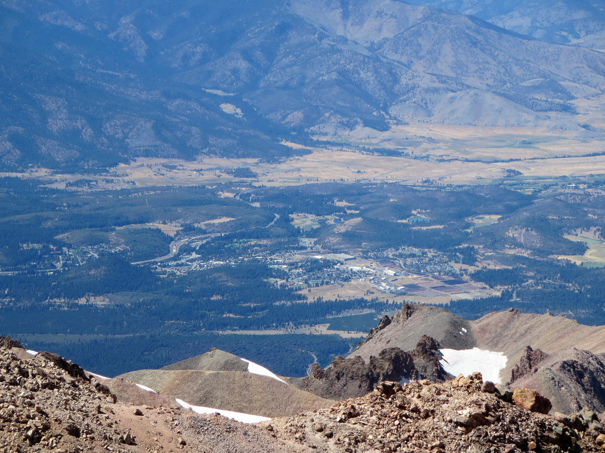
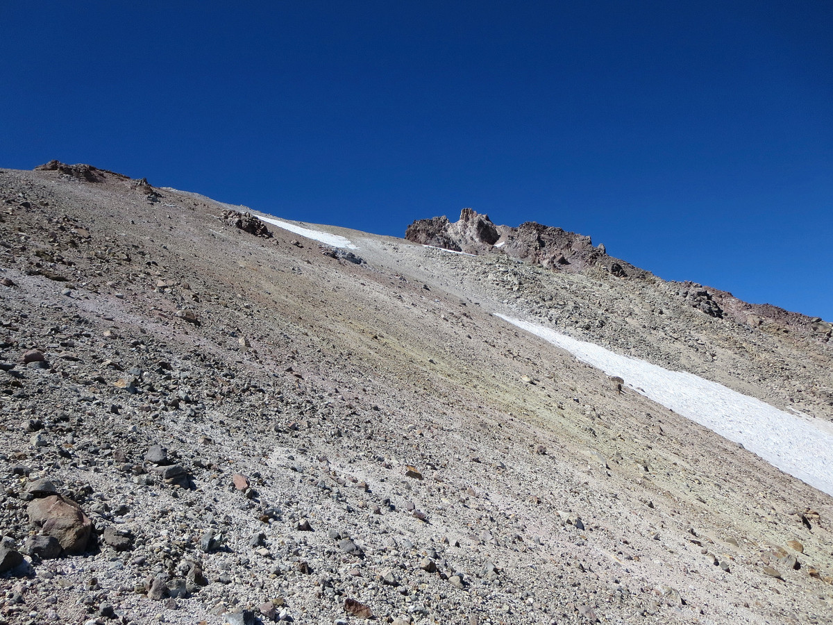
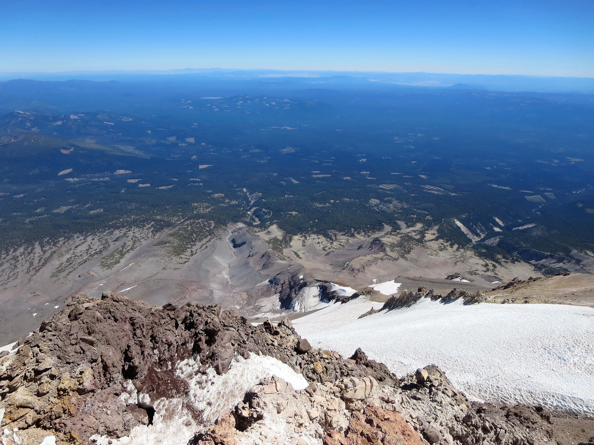
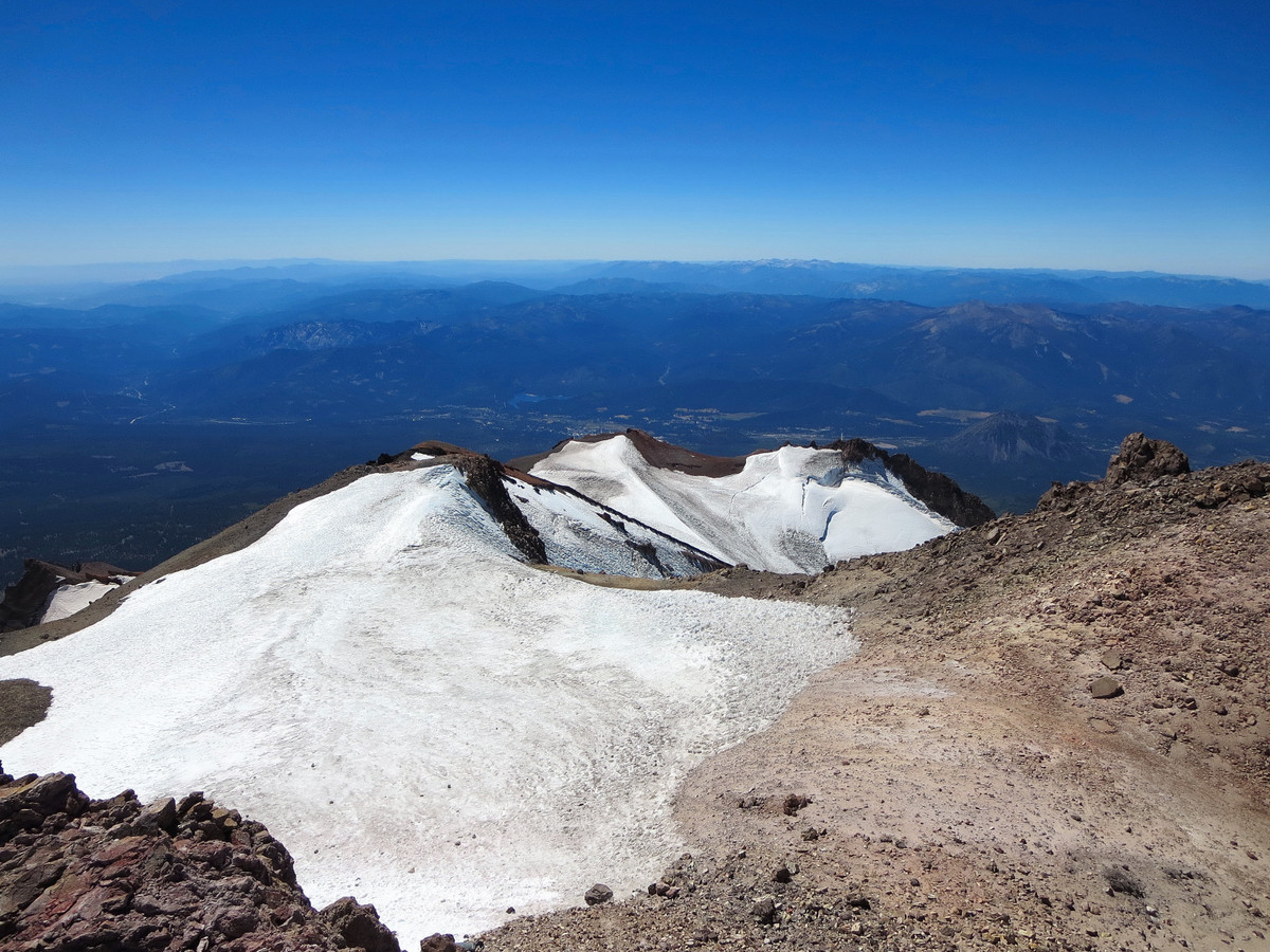
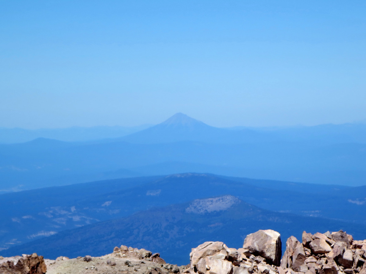
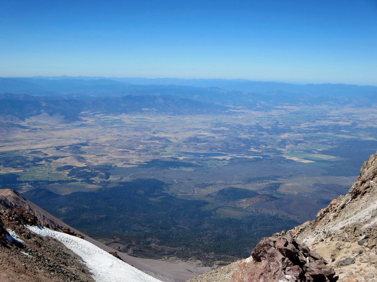
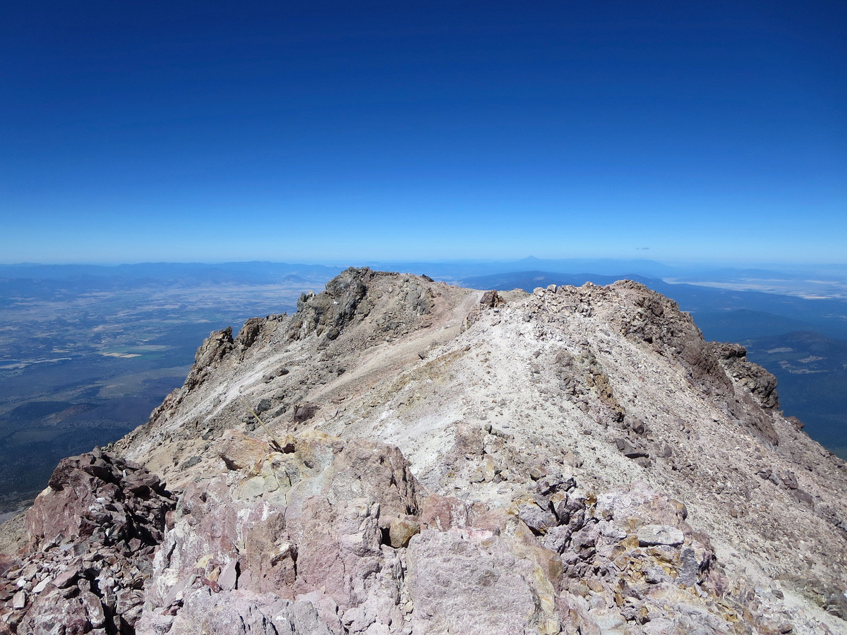
 After the primary camping area at around 8,400 ft, the trail becomes a use-path with several braids that can be confusing, but they all ultimately lead up toward the summit. The key is finding the use path that contains the most solid blocks of rock. Despite my best efforts, for much of the way up this portion, I felt like I was making two steps up only to slide one step down. I utilized more solid rock wherever I could so my efforts weren’t without some reward. Despite being loose, the Clear Creek Route is quite efficient and I soon found myself at the summit around 3 hours after starting. The view is similar to that from an airplane with nothing really close. Naturally, my favorite angle is toward the Trinity Alps, the most rugged thing in sight. Mount McLauglin also rises prominently to the north with its distinct cone shape. While the loose slopes were tedious on the way up, they were quite fun for the return trip with some great plunge stepping down thousands of feet of sand and gravel. Overall, the Clear Creek Route was nice and proved to be a great workout with nearly 8,000 ft of gain. I got a late start after 10 a.m. due to driving from the Bay Area that morning, but was back just after 3 pm with plenty of time to grab dinner and make our way over to the Canyon Creek trailhead in the Trinity Alps. Strava GPS route here.


Did you need crampons/ice axe or was the small field of snow ok?